

The drive
This stretch of US 101 runs along the central Oregon coast, from Newport to the north edge of Yachats. It starts just south of the Yaquina Bay Bridge, passes Seal Rock, crosses Alsea Bay at Waldport, and goes on to Yachats. It is 21.2 miles and takes about 30 minutes.
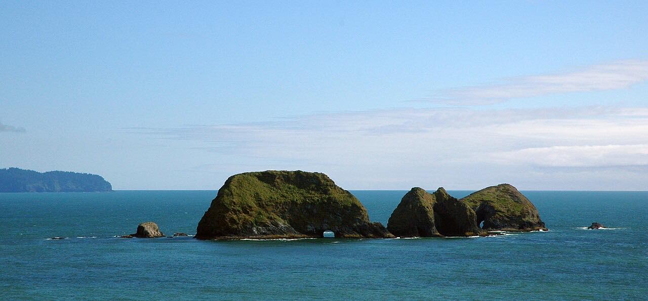
The road hugs the shore for much of the way, with ocean headlands and short climbs. Driving south keeps the ocean on the passenger side. Seal Rock State Recreation Site is a quick stop for tide pools and sea stacks, and the Alsea Bay Bridge has an interpretive center and parking by the tide flat.
It fills the gap between Newport and the Yachats to Florence drive, so the three together make a longer coast run.
Along the way
- Newport (south of Yaquina Bay Bridge)
- Yachats (north edge)
Good to know
- Summer is busy, with visitor traffic through Newport and Waldport.
- There are several state recreation sites along the road for stops, including Seal Rock and Beachside.
- The road is mostly scenic rather than curvy.
- Check TripCheck for current conditions.
Open all year, weather permitting. Roads close for snow, fire, storms and repairs: before you set off, check TripCheck: Oregon road and weather conditions.
Questions about this drive
How long does Highway 101 from Newport to Yachats take?
US 101 from Newport to Yachats is 21.2 miles and takes about 30 minutes without stops.
What towns are between Newport and Yachats on Highway 101?
US 101 passes Seal Rock and Waldport between Newport and Yachats.
Is Highway 101 between Newport and Yachats twisty?
Not much. It is a scenic coast road with gentle curves and short climbs.
What is the best direction to drive Highway 101 here?
Driving south from Newport to Yachats keeps the ocean on the passenger side.
What you get in the app
Free on iPhone and Android. CarPlay and Android Auto come with Apex.
More drives near here



Distance, time, elevation, curves and intensity are from Carve's route. Checked 2026-10-28.