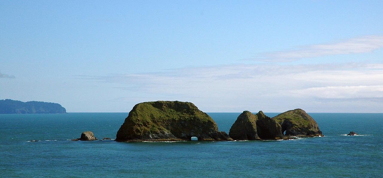

The drive
The Three Capes Scenic Route strings together the headlands of the Tillamook coast. It starts in Tillamook on Bayocean Road, runs along the bay to Cape Meares, crosses the cape to Oceanside and Netarts, then climbs over Cape Lookout and continues past the Sand Lake area to Pacific City and Cape Kiwanda. Driven south, the capes come in the order Meares, Lookout, Kiwanda.
The Cape Meares Loop Road slid and was closed for a decade until a new alignment over the ridge opened. The new road has grades up to 12 percent. Plan on narrow, slow stretches and three twisty sections, at about miles 5 to 8, 9 to 11 and 18 to 22.
Along the way
- Tillamook (Bayocean Road)
- Cape Meares
- Oceanside
- Netarts Bay
- Cape Lookout
- Pacific City (Cape Kiwanda)
Good to know
- The new Cape Meares section has grades up to 12 percent and gates that close in severe winter weather such as ice or snow.
- The road is narrow and slow in places, so allow more than the drive time if you plan to stop at the capes.
- Heavy rain has closed parts of the Sandlake to Pacific City stretch in past winters; check conditions before a winter drive.
Open all year, weather permitting. Roads close for snow, fire, storms and repairs: before you set off, check ODOT TripCheck.
Questions about this drive
How long does the Three Capes Scenic Route take?
From Tillamook to Pacific City this route is 31.1 miles and takes about 1 hour of driving. Stops at Cape Meares, Cape Lookout and Cape Kiwanda add to that.
Is the Three Capes Scenic Route open in winter?
It is generally open, but the Cape Meares Loop Road closes in extreme winter weather such as ice and snow. Check TripCheck before you go.
Is the Cape Meares Loop open again?
Yes. The Cape Meares Loop Road is open on a new alignment over the ridge, built after a slide closed the old road for a decade.
What you get in the app
Free on iPhone and Android. CarPlay and Android Auto come with Apex.
More drives near here


Distance, time, elevation, curves and intensity are from Carve's route. Checked 2026-10-28.