
Drives British Columbia The Okanagan, the Kootenays and the BC Interior
Highway 6: Slocan Valley
BC 6 · South Slocan → New Denver

The drive
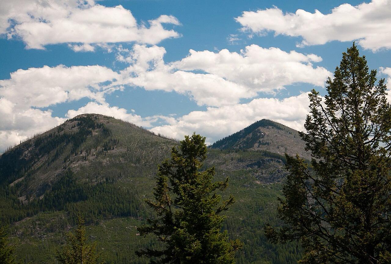
Highway 6 runs north from South Slocan up the Slocan River valley, passing Winlaw and the village of Slocan. It then follows the east shore of Slocan Lake through Silverton toward New Denver. Across the water are the peaks of Valhalla Provincial Park, which has 30 kilometers of shoreline on the lake.
Winlaw sits on the east bank of the river. The curves are gentle all the way.
At New Denver, Highway 31A goes east to Kaslo, so this drive and the Highway 31 drive pair as a loop.
Along the way
- South Slocan
- Winlaw
- New Denver
Good to know
- Culvert work at Slocan Park has caused short delays.
- The full Highway 6 continues to Nakusp, beyond this drive.
Open all year, weather permitting. Roads close for snow, fire, storms and repairs: before you set off, check DriveBC.
Questions about this drive
How long does Highway 6 through the Slocan Valley take?
Highway 6 from South Slocan to New Denver is 47 miles and takes about 1 hour.
What is Valhalla Provincial Park?
It is a 49,600-hectare park on the west side of Slocan Lake, visible across the water from Highway 6.
Is Highway 6 in the Slocan Valley twisty?
No. It follows the river and lake with mostly gentle curves.
What you get in the app
Free on iPhone and Android. CarPlay and Android Auto come with Apex.
More drives near here



Distance, time, elevation, curves and intensity are from Carve's route. Checked 2026-10-28.