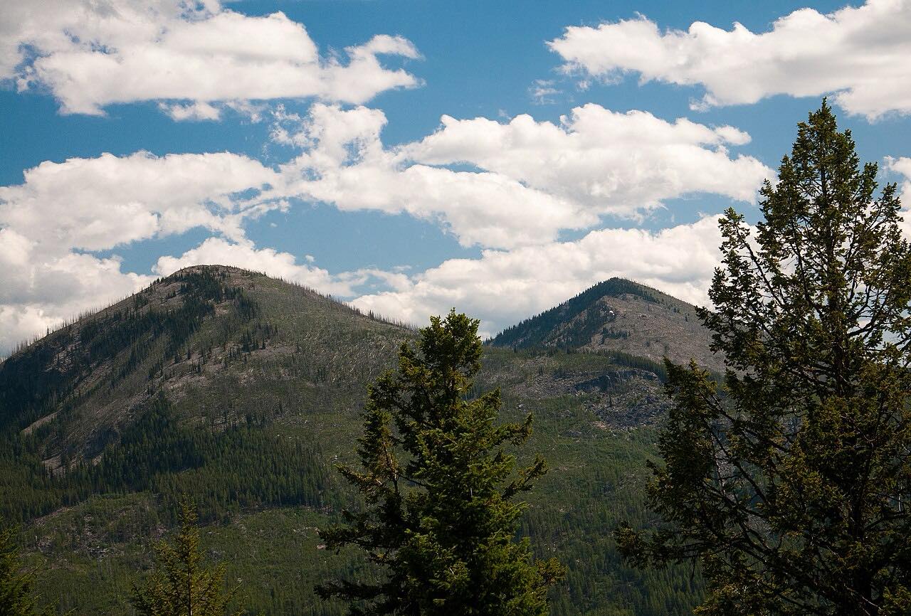

The drive
SR 20 crosses the Kettle River Range at Sherman Pass, 5,575 feet, the highest pass in Washington that stays open all winter. This drive runs west from Kettle Falls, near the Columbia, climbing steadily through the Colville National Forest to the summit, then down to Republic.
Curves are gentle and steady. Near the top, silver snags from old fires stand along the road. The Kettle Crest trailhead is at the summit.
It is part of the Sherman Pass Scenic Byway. The drive is 37 miles and about 50 minutes.
Along the way
- Kettle Falls (US-395)
- Sherman Pass
- Republic
Good to know
- The pass is kept open in winter, but snow is heavy and traction tires or chains can be required.
- Sno-park permits are required in winter at the summit area.
- Services are in Kettle Falls and Republic, not on the pass.
- Check the WSDOT travel map before crossing.
Open all year, weather permitting. Roads close for snow, fire, storms and repairs: before you set off, check WSDOT travel map and alerts.
Questions about this drive
How long does Sherman Pass on Highway 20 take?
Kettle Falls to Republic on SR 20 over Sherman Pass is 37.5 miles and takes about 50 min.
Is Sherman Pass open in winter?
Yes. It is the highest pass in Washington kept open all year, though snow can require traction tires or chains.
How high is Sherman Pass?
Sherman Pass on SR 20 is 5,575 feet.
Is Sherman Pass twisty?
Only mildly. SR 20 has steady, gentle curves on both sides.
What you get in the app
Free on iPhone and Android. CarPlay and Android Auto come with Apex.
More drives near here


Distance, time, elevation, curves and intensity are from Carve's route. Checked 2026-10-28.