Drives Arkansas The Ozarks: Arkansas and Missouri
Talimena Scenic Drive
AR 88, OK 1, Skyline Drive · Mena → Talimena State Park

The drive
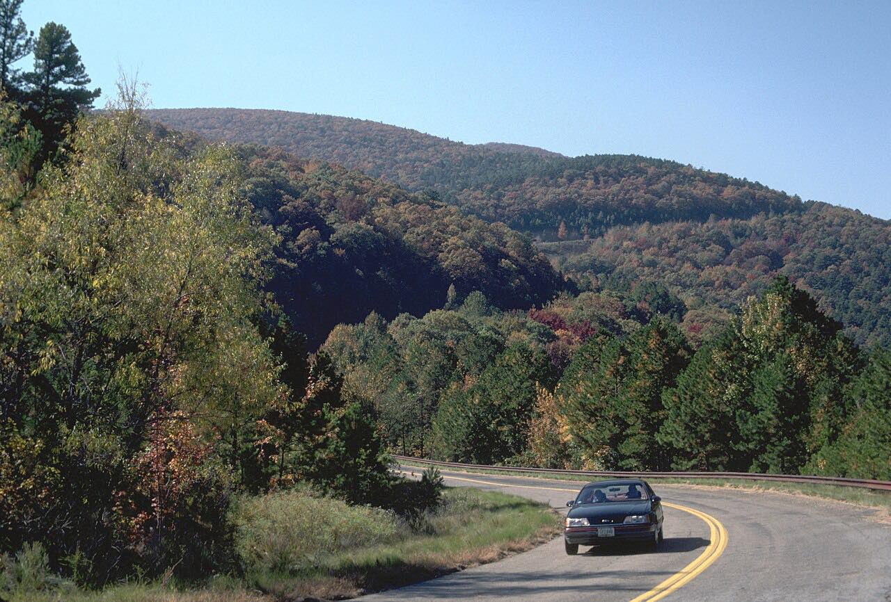
The Talimena Scenic Drive follows the crest of Rich Mountain and Winding Stair Mountain for 54 miles between Mena, Arkansas, and Talihina, Oklahoma, according to the Forest Service. The drive starts in Mena on Highway 88 and runs west along the ridge to the Talimena State Park end.
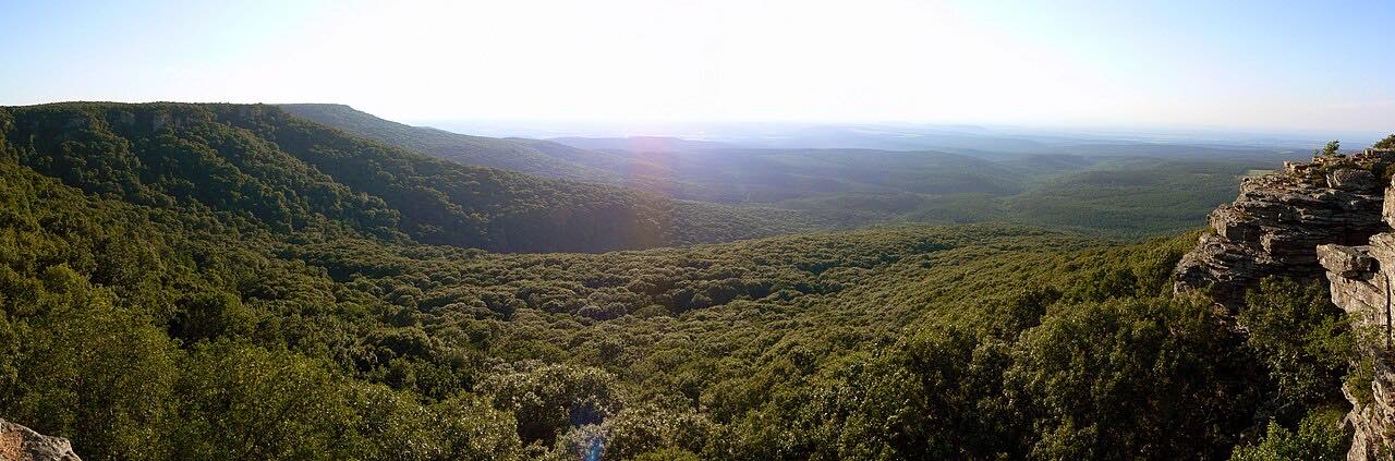
The road runs through the Ouachita National Forest along the highest ridges of the Ouachita Mountains. Rich Mountain reaches 2,681 feet, and Wikipedia counts 22 scenic vista pull-outs along the two-lane road, with grades of at least 13 percent.
The Forest Service lists scenic vistas, historical sites, camping, picnicking and hiking, with Queen Wilhelmina State Park and the Robert S. Kerr Memorial Arboretum and Nature Center along the way.
Along the way
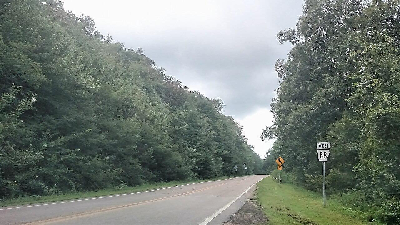
- Mena (Highway 88)
- Talimena Drive (Winding Stair ridge)
- Talimena Drive (west of US 259)
- Talimena State Park (US 271)
Good to know
- The Forest Service says the byway is open year round and charges no fee.
- The Forest Service page lists no potable water along the byway.
- Expect steep grades on the ridge; the road has hill grades of at least 13 percent.
- The page has carried fire-danger and bear-awareness alerts, so check it before you go.
Open all year, weather permitting. Roads close for snow, fire, storms and repairs: before you set off, check Ouachita National Forest: Talimena Scenic Byway.
Questions about this drive
How long does the Talimena Scenic Drive take?
The Talimena Scenic Drive from Mena to Talimena State Park is 52.9 miles and takes about 1 hr 20 min without stops.
Is the Talimena Scenic Drive open in winter?
The Forest Service lists the byway as open year round.
Is there a fee to drive the Talimena Scenic Drive?
No. The Forest Service lists no fee.
What you get in the app
Free on iPhone and Android. CarPlay and Android Auto come with Apex.
More drives near here

Distance, time, elevation, curves and intensity are from Carve's route. Checked 2026-10-28.