Drives Utah Northern Utah and the Uintas
Flaming Gorge–Uintas Byway
US 191, UT 44 · Vernal → Manila

The drive
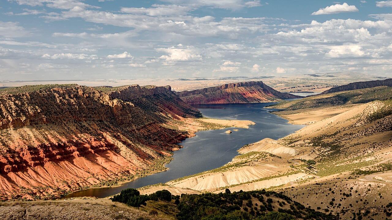
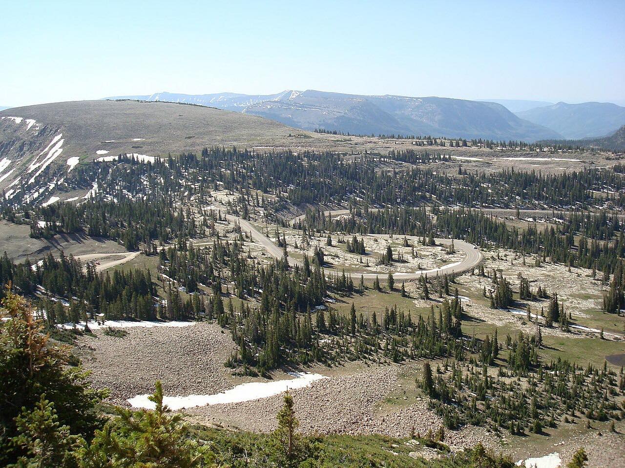
This byway starts in Vernal on US 191 and climbs north through the tilted rock layers on the eastern end of the Uinta Mountains. Signs along the road name the layers. It crosses the forested crest to Greendale above Flaming Gorge, then follows Highway 44 west along the high country, past the Red Canyon and Sheep Creek turnoffs, to Manila. It is 62.3 miles and about 1 hr 15 min, with gentle curves.
Flaming Gorge Dam is a short side trip east of Greendale Junction on US 191, and the Red Canyon Overlook is a short spur off Highway 44.
The route tops out around 8,500 feet.
Along the way
- Vernal
- Manila
Good to know
- UDOT road work on US 191 in Vernal can bring one-way flagging and delays of up to 15 minutes.
- Gas up in Vernal or Manila, since the route climbs through forest with few services.
Open all year, weather permitting. Roads close for snow, fire, storms and repairs: before you set off, check UDOT: Vernal Avenue resurfacing.
Questions about this drive
How long is the Flaming Gorge-Uintas Byway?
From Vernal to Manila it is 62.3 miles and takes about 1 hr 15 min.
Is there construction on US 191 in Vernal?
Paving and repair work can bring lane closures in and around Vernal; check UDOT's road conditions before you go.
What you get in the app
Free on iPhone and Android. CarPlay and Android Auto come with Apex.
More drives near here


Distance, time, elevation, curves and intensity are from Carve's route. Checked 2026-10-28.