
Drives Colorado Grand Junction and the Western Slope
Douglas Pass: Highway 139
CO 139, 13 Road, Douglas Pass Road · Loma → Rangely

The drive
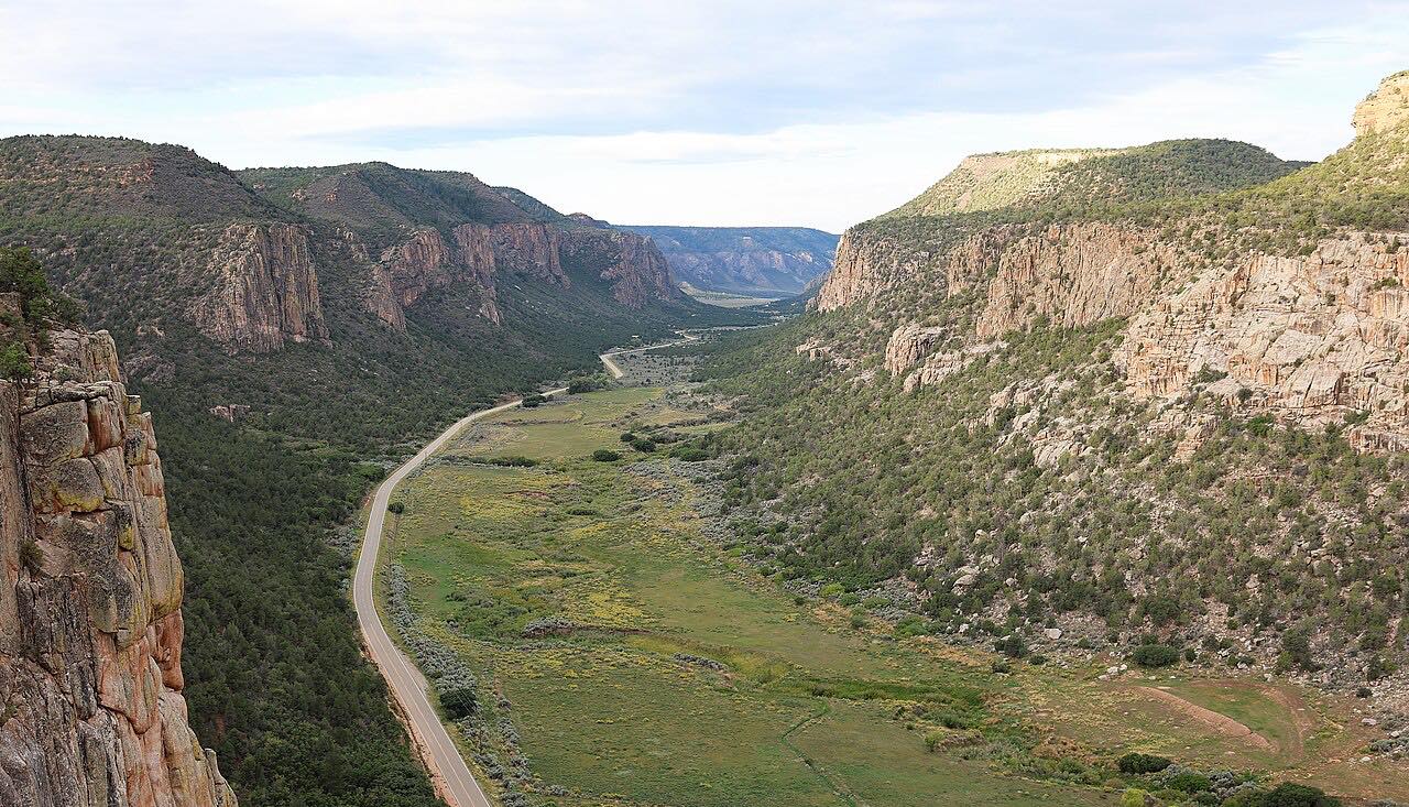
Colorado 139 leaves I-70 at Loma and heads north through the Book Cliffs, over 8,268-foot Douglas Pass and down Douglas Creek to Rangely. The first part crosses open desert, and the road turns to switchbacks as it climbs toward the pass.
It is part of the Dinosaur Diamond byway, and it is remote. Along the whole 70 miles the only services are at the ends, and the pavement can be rough in places.
The pass is a modest drive in good weather: mostly gentle, with one twisty stretch, and a high point of about 8,300 feet.
Along the way
- Loma (I-70)
- Douglas Pass
- Rangely (CO-64)
Good to know
- There are no significant services between Loma and Rangely, so fill up first.
- Truck traffic from the area's oil and gas fields is common.
- Winter storms can make the pass slick, and the state byway page warns of limited services on some stretches.
- CDOT does not maintain the road at night, which can add hazards in winter.
Open all year, weather permitting. Roads close for snow, fire, storms and repairs: before you set off, check CDOT COtrip.
Questions about this drive
How long does Douglas Pass on Highway 139 take?
Loma to Rangely on Highway 139 is 69.7 miles and takes about 1 hr 25 min.
Are there gas stations on Highway 139 over Douglas Pass?
There are no significant settlements along the road, so fill up in Loma or Rangely before you start.
Is Douglas Pass twisty?
Only in one stretch. Highway 139 is mostly gentle, with a set of switchbacks near the pass.
Is Douglas Pass open in winter?
Highway 139 is open year-round, but snow and ice can make the pass difficult. Check COtrip before you go.
What you get in the app
Free on iPhone and Android. CarPlay and Android Auto come with Apex.
More drives near here



Distance, time, elevation, curves and intensity are from Carve's route. Checked 2026-10-28.