Drives Colorado Grand Junction and the Western Slope
Unaweep Canyon: Highway 141
CO 141 · Whitewater → Gateway

The drive
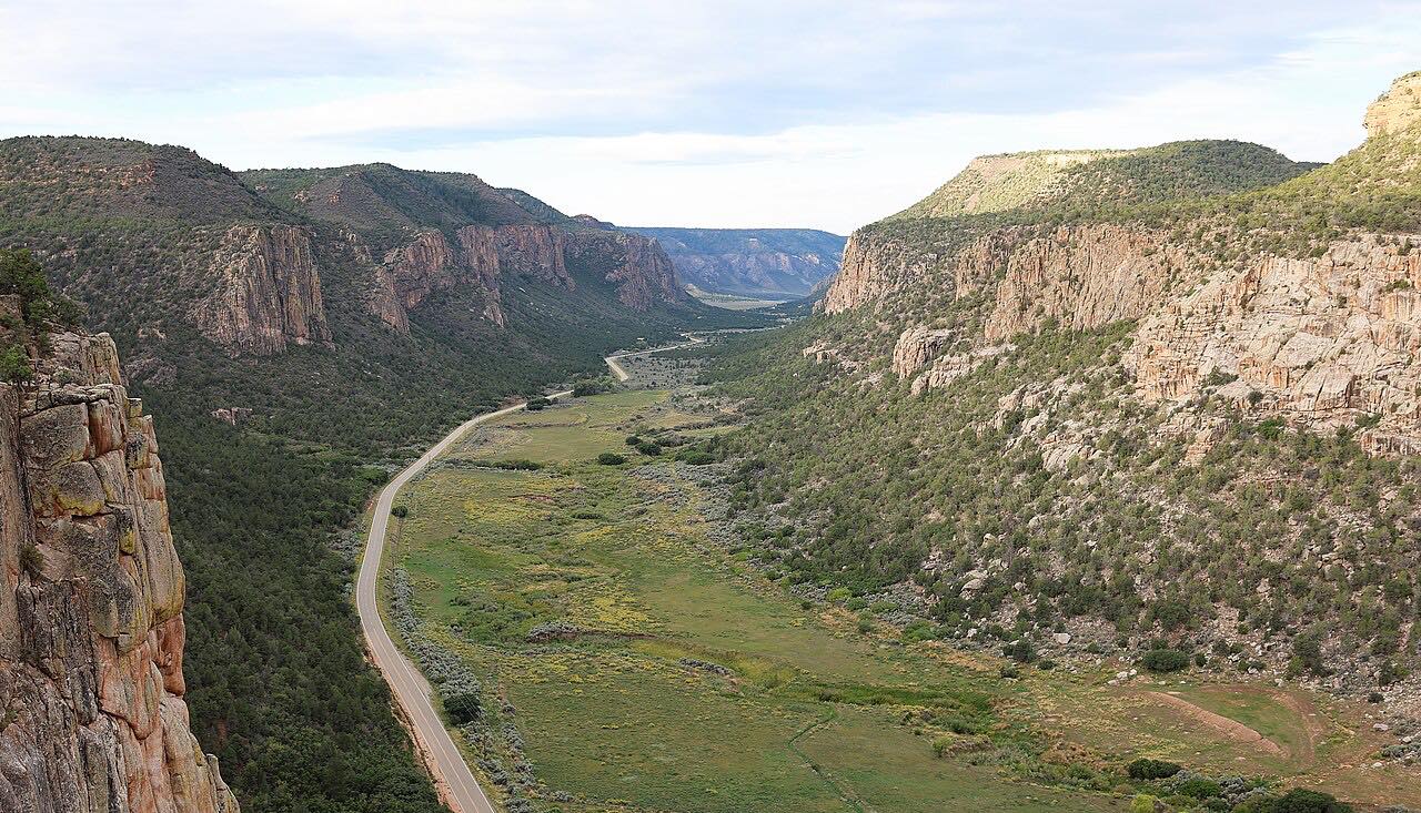
Colorado 141 turns off US 50 at Whitewater and runs through Unaweep Canyon, over the Unaweep Divide and down to Gateway. The canyon cuts through the Uncompahgre Plateau, with striated cliffs rising about a thousand feet. It is an unusual valley with a creek draining from each end.
The state byway page ties the canyon to a copper boom around the turn of the century and to uranium from nearby Uravan. The Driggs Mansion ruin stands along the way, and the road ends in red-rock country at Gateway.
It is quiet, two lanes, with gentle curves and a high point of about 7,100 feet.
Along the way
- Whitewater (US-50)
- Unaweep Divide
- Gateway
Good to know
- Bring fuel, food and water: the byway page says some sections have no fuel or cell service.
- Watch for falling rocks, wildlife and livestock; livestock has the right of way.
- Much of the land beside the road is private.
Open all year, weather permitting. Roads close for snow, fire, storms and repairs: before you set off, check CDOT COtrip.
Questions about this drive
How long does Unaweep Canyon on Highway 141 take?
Whitewater to Gateway on Highway 141 is 42.6 miles and takes about 1 hr 5 min.
Are there services in Unaweep Canyon?
Few. The state byway page advises a full tank, food and water, since some sections have no fuel or cell service.
Is Unaweep Canyon twisty?
No. Highway 141 through the canyon is mostly gentle curves.
Is Highway 141 through Unaweep Canyon open in winter?
It is a state highway open year-round. Check COtrip for storm closures.
What you get in the app
Free on iPhone and Android. CarPlay and Android Auto come with Apex.
More drives near here


Distance, time, elevation, curves and intensity are from Carve's route. Checked 2026-10-28.