Drives Dubai, United Arab Emirates Dubai, Sharjah and the Interior
Hatta to Huwaylat Road
Hajar Mountains, Dubai and Ras Al Khaimah · Hatta → Huwaylat road, eastern roundabout


The drive
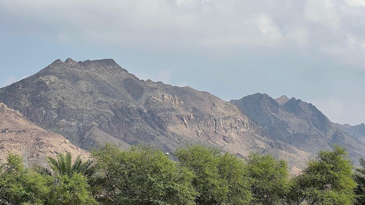
This road leaves Hatta, a Dubai exclave high in the Hajar Mountains, and runs 24 km (15 mi) to Huwaylat in about half an hour. It branches off just before the Hatta Fort Hotel roundabout, on the left toward the Omani border, and the first part is a fast, twisting dual carriageway of about 10 km. The road then continues through mountain country to a roundabout near the link to the Sharjah to Kalba road.
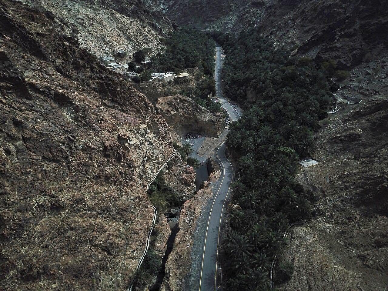
Cautions come from the road itself: a surface that is not completely smooth, switchbacks, changes of surface, blind crests and steep drops at the edges. Hatta borders Oman on two sides, and some navigation apps send drivers toward the Omani border, so follow the UAE route. The nearby Hatta Dam, Heritage Village and mountain-view cafés make a good base before or after the drive.
Along the way
- Hatta (Huwaylat road junction)
- Huwaylat road, eastern roundabout
Good to know
- Carry your passport or Emirates ID and rental papers: a checkpoint has been reported on this approach near the border.
- Stay on paved roads; sedans should avoid gravel tracks and wadi routes.
- Blind crests and cliff edges mean keeping speed well within what you can see.
- Summer days are very hot; early mornings and the cooler months are more comfortable.
Open all year, weather permitting. Roads close for snow, fire, storms and repairs: before you set off, check Dubai Roads and Transport Authority.
Questions about this drive
How long does the Hatta to Huwaylat road take?
The Hatta to Huwaylat road is 24 km (15 mi) and takes about 30 minutes.
Is the Hatta to Huwaylat road twisty?
The first 10 km or so is a fast, twisting dual carriageway, and the rest is mostly gentle.
Does the Hatta to Huwaylat road cross into Oman?
No. The drive stays in the UAE, but Hatta borders Oman and some navigation apps route toward the Omani border, so follow the UAE route as drawn.
Do I need ID on the Hatta to Huwaylat road?
Carry a passport or Emirates ID and your rental papers, because a checkpoint has been reported near the border.
What you get in the app
Free on iPhone and Android. CarPlay and Android Auto come with Apex.
More drives near here
 Mleiha Road: Dhaid to MadamLeisurely · Al Dhaid-Maliha Road, Al Dhaid Road · 24 mi
 Khorfakkan Road (S142)Sweeping · Khorfakkan Road, S142 · 12.9 mi
 Masafi to Fujairah: Wadi HamLeisurely · Sheikh Maktoum Bin Rashid Al Maktoum Road, E89 · 13.7 mi
 Masafi to Dibba (E89)Leisurely · Masafi-Dibba Road, Dibba Truck Road · 21 mi
Distance, time, elevation, curves and intensity are from Carve's route. Checked 2026-10-28.