Drives New York The Thousand Islands and the St. Lawrence
Highway 12E: Cape Vincent to Clayton
NY 12E, NY 12 · Cape Vincent → Clayton

The drive
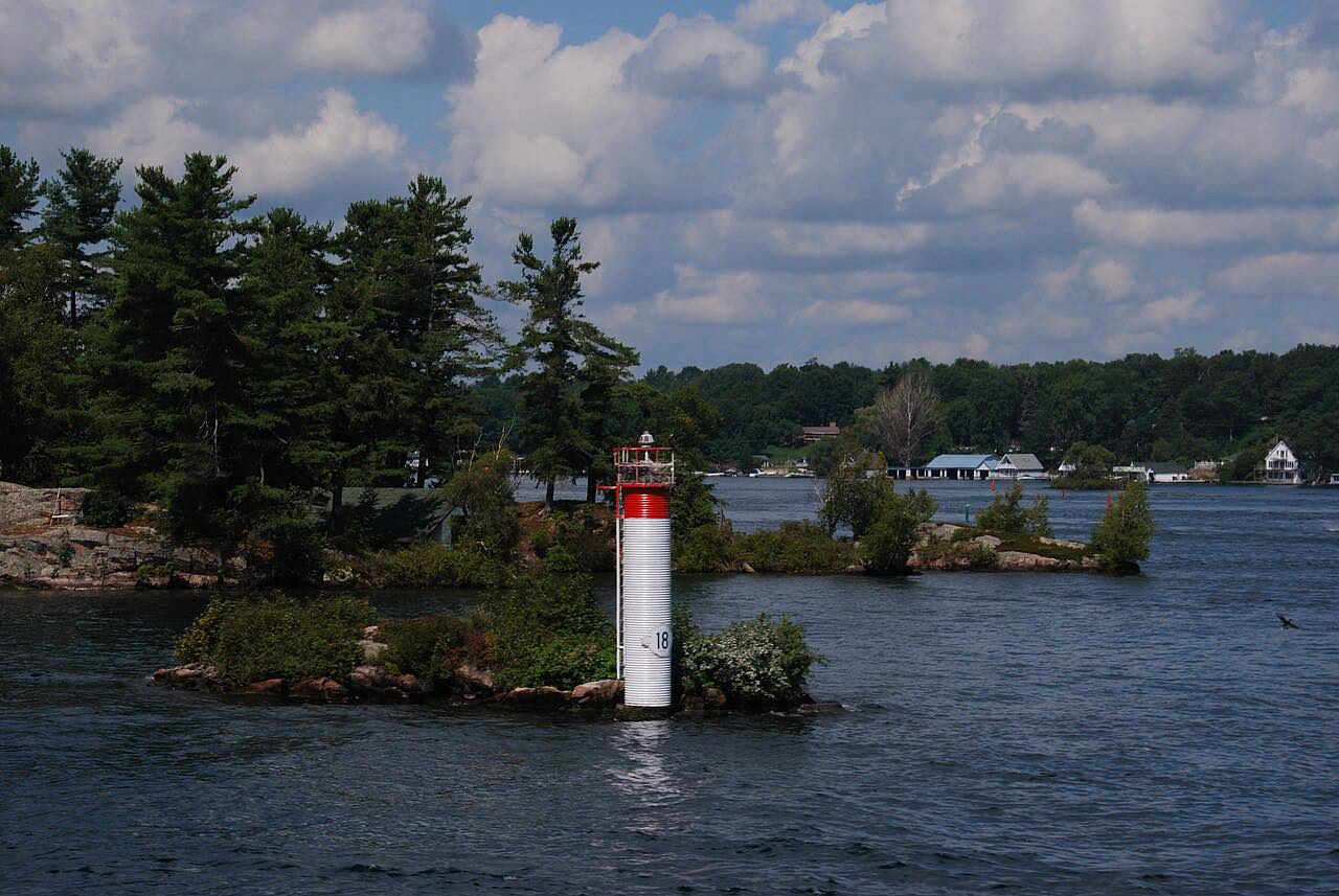
NY 12E runs northeast from Cape Vincent along the St. Lawrence River to Clayton, 15 miles of two-lane road beside the water. After leaving the village it passes Burnham Point State Park, then the hamlets of Sunnybank and Millins Bay.
Near the Clayton town line it passes Cedar Point State Park and enters Clayton as State Street, ending at NY 12 in the middle of town. The section is part of the Seaway Trail, a National Scenic Byway.
The road is flat and open. Driven downriver, it leads directly into the Highway 12 drive from Clayton toward Alexandria Bay.
Along the way
- Cape Vincent
- Clayton
Good to know
- It is a two-lane rural road beside the river.
- Carleton Drive, about three miles from Cape Vincent, serves a ferry to Carleton Island.
Open all year, weather permitting. Roads close for snow, fire, storms and repairs: before you set off, check 511NY.
Questions about this drive
How long is the Highway 12E drive from Cape Vincent to Clayton?
NY 12E from Cape Vincent to Clayton is 15 miles and takes about 20 minutes.
Is NY 12E part of the Seaway Trail?
Yes. NY 12E between Cape Vincent and Clayton is part of the Seaway Trail, a National Scenic Byway.
Which state parks are on NY 12E?
Burnham Point State Park and Cedar Point State Park are both on NY 12E between Cape Vincent and Clayton.
What you get in the app
Free on iPhone and Android. CarPlay and Android Auto come with Apex.
More drives near here


Distance, time, elevation, curves and intensity are from Carve's route. Checked 2026-10-28.