Drives New York The Thousand Islands and the St. Lawrence
Highway 12: Clayton to Morristown
NY 12, NY 37 · Clayton → Morristown

The drive
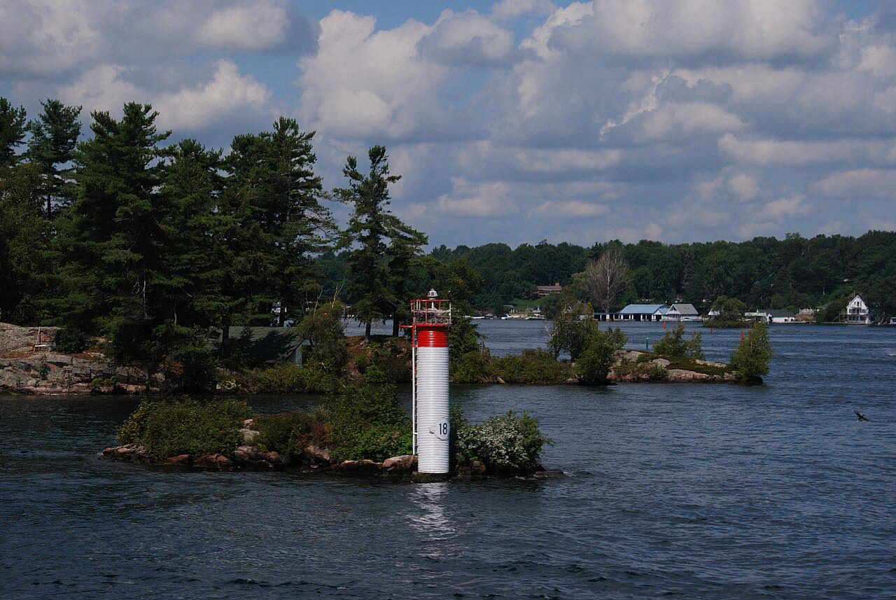
NY 12 follows the south bank of the St. Lawrence River downriver from Clayton to Morristown, 35.4 miles through the Thousand Islands. It leaves Clayton on State Street and runs through Alexandria Bay, where the road detours inland around Goose Bay before following the bay's eastern shore.
Past Alexandria Bay it passes Kring Point State Park by a side road and Jacques Cartier State Park before reaching NY 37 near Morristown. The road was extended to Alexandria Bay in 1930, and a new riverside roadway to Morristown was built in the mid-1960s.
The drive is flat and quick, with the river rather than the curves as its interest. It continues the Highway 12E drive from Cape Vincent.
Along the way
- Clayton
- Alexandria Bay
- Morristown
Good to know
- NY 12 detours inland around Goose Bay at Alexandria Bay.
- Kring Point State Park is reached by a side road north of the bay.
Open all year, weather permitting. Roads close for snow, fire, storms and repairs: before you set off, check 511NY.
Questions about this drive
How long is the Highway 12 drive from Clayton to Morristown?
NY 12 from Clayton to Morristown is 35.4 miles and takes about 40 minutes.
Which state parks are on NY 12 in the Thousand Islands?
Kring Point and Jacques Cartier state parks are on or near NY 12 between Alexandria Bay and Morristown.
Is NY 12 along the St. Lawrence twisty?
No. It is rated Leisurely, with mostly gentle curves.
What you get in the app
Free on iPhone and Android. CarPlay and Android Auto come with Apex.
More drives near here


Distance, time, elevation, curves and intensity are from Carve's route. Checked 2026-10-28.