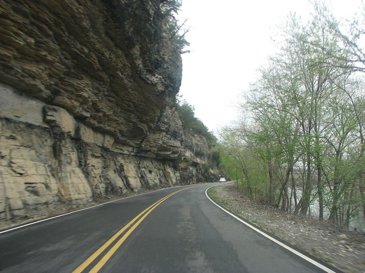

The drive
Oklahoma Highway 10 runs north out of Tahlequah and follows the Illinois River, which the state highway is the main way to reach. This drive covers 24.2 miles from the US 62 junction to Kansas, Oklahoma, where Highway 10 meets US 412 and the Cherokee Turnpike.
It is a leisurely drive with mostly gentle curves, about 30 minutes without stops, and it climbs about 1,300 feet along the way. Tahlequah is the natural place to start, and the road ends at an interchange, so you can carry on toward the turnpike or turn around and come back along the river.
Along the way
- Tahlequah (US 62 junction)
- Kansas, Oklahoma (Highway 10)
Good to know
- Highway 10 is the main access road to the Illinois River, so expect extra traffic where people reach the water.
- Check Oklahoma's road conditions site before you go if the river has been high.
Open all year, weather permitting. Roads close for snow, fire, storms and repairs: before you set off, check OK Traffic (Oklahoma road conditions).
Questions about this drive
How long is the Highway 10 Illinois River drive?
Highway 10 from Tahlequah to Kansas, Oklahoma, is 24.2 miles and takes about 30 minutes.
How twisty is Oklahoma Highway 10 along the Illinois River?
It is a leisurely drive with mostly gentle curves and no tight twisty stretches.
Where does the Highway 10 Illinois River drive start?
It starts in Tahlequah at the US 62 junction and heads north to Kansas, Oklahoma.
What you get in the app
Free on iPhone and Android. CarPlay and Android Auto come with Apex.
More drives near here

Distance, time, elevation, curves and intensity are from Carve's route. Checked 2026-10-28.