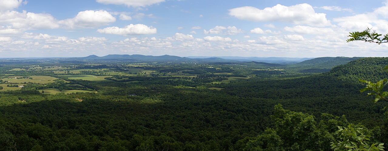
Drives Arkansas The Ozarks: Arkansas and Missouri
Highway 16: St. Paul to Fallsville
AR 16 · St. Paul → Fallsville

The drive
Arkansas Highway 16 meets Highway 23 at Brashears and runs with it through St. Paul. Northeast of St. Paul it splits off and heads east, and this 24-mile drive starts there, east of the Highway 23 split, and runs through the Ozark National Forest to Fallsville.
In Newton County, Highway 16 meets Highway 21 at Fallsville. The two routes run together northeast past the Glory Hole Trail and the southern edge of the Upper Buffalo Wilderness, and that stretch is part of the Ozark Highlands Scenic Byway. Highway 23, the Pig Trail, earns its scenic byway designation from steep hills and hairpin turns.
Along the way
- St. Paul (east of the Highway 23 split)
- Fallsville (Highway 21 junction)
Good to know
- The Pig Trail Scenic Byway (Highway 23) meets Highway 16 at Brashears, so the two roads connect.
- Check IDriveArkansas, linked from ARDOT, for current road conditions.
Open all year, weather permitting. Roads close for snow, fire, storms and repairs: before you set off, check IDriveArkansas (ARDOT).
Questions about this drive
How long does Highway 16 from St. Paul to Fallsville take?
Highway 16 from St. Paul to Fallsville is 24.2 miles and takes about 35 minutes.
Where does Arkansas Highway 16 meet Highway 21?
Highway 16 meets Highway 21 at Fallsville in Newton County, and the two run together northeast.
How does Highway 16 connect to the Pig Trail?
Highway 16 meets Highway 23, the Pig Trail Scenic Byway, at Brashears and shares the road with it through St. Paul.
What you get in the app
Free on iPhone and Android. CarPlay and Android Auto come with Apex.
More drives near here

Distance, time, elevation, curves and intensity are from Carve's route. Checked 2026-10-28.