Drives California Joshua Tree and the Coachella Valley
Pioneertown Road
Pioneertown Road · Yucca Valley → Pipes Canyon Road

The drive
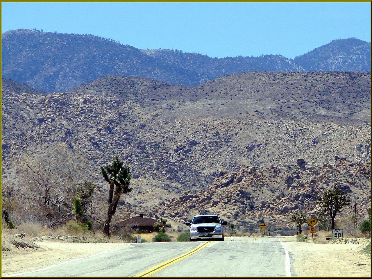
Pioneertown Road is a short desert drive with a movie set at the end of it. It leaves Highway 62 in Yucca Valley and winds northwest through the high desert of the Morongo Basin, climbing to about 4,300 feet. The road carries a California Scenic Drive designation.
Pioneertown itself sits about four miles from Yucca Valley. Actor Dick Curtis started it in 1946 as a live-in Old West movie set, with Roy Rogers and Russell Hayden among the original investors, and Westerns and early television shows were filmed there for years. Mane Street is a pedestrian-only street, and Pappy & Harriet's, a club in the town's original gas station, is the best-known stop.
The drive passes the town and carries on to the Pipes Canyon Road junction, 5.7 miles in all. It is a relaxed drive of about ten minutes with gentle curves. The reason to take it is the setting, not the bends.
Along the way
- Yucca Valley (Highway 62)
- Pipes Canyon Road
Good to know
- There is no gas station in Pioneertown; the nearest is back on Highway 62 in Yucca Valley.
- Cars are not allowed on Mane Street. Park in the lots around the town, and don't park on Pioneertown Road.
- Businesses keep irregular hours, generally midday until sundown, and weekends are busiest.
- Services in town are limited; Yucca Valley has the nearest grocery stores.
Open all year, weather permitting. Roads close for snow, fire, storms and repairs: before you set off, check Visit Pioneertown: visitor guide.
Questions about this drive
How long is Pioneertown Road?
Pioneertown Road from Highway 62 in Yucca Valley to the Pipes Canyon Road junction is 5.7 miles and takes about 10 minutes.
Is there gas in Pioneertown?
No. The nearest gas station is on Highway 62 in Yucca Valley, about five miles from town.
Can you drive on Mane Street in Pioneertown?
No. Cars aren't allowed on Mane Street; it is for people and horses. Park in the lots around Pappy & Harriet's or the Pioneertown Motel.
Is Pioneertown Road a twisty drive?
Not very. Pioneertown Road has gentle curves and climbs about 900 feet, so it is a relaxed scenic drive.
What you get in the app
Free on iPhone and Android. CarPlay and Android Auto come with Apex.
More drives near here


Distance, time, elevation, curves and intensity are from Carve's route. Checked 2026-10-28.