
Drives West Virginia Shenandoah and the Virginia Blue Ridge
Highway 250: Churchville to Bartow
Hankey Mountain Highway, Highland Turnpike, Mountain Turnpike · Churchville → Bartow


The drive
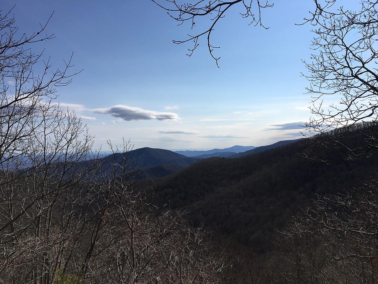
US 250 leaves Churchville, briefly sharing the road with Route 42, and heads northwest to climb Shenandoah Mountain in a winding crossing. At the top it passes the Fort Edward Johnson Confederate earthworks at the Augusta County line. The road then runs through the hamlet of Head Waters, crosses the Calfpasture River, and climbs Bullpasture Mountain to cross the Bullpasture River at McDowell.
Monterey is the Highland County seat, and US 250 runs through it as Main Street. Highland has 2,232 residents, the fewest of any Virginia county, and the second-highest average elevation in the state. West of Monterey the road crosses Monterey Mountain to Hightown, in the Bluegrass Valley where the South Branch Potomac and Jackson rivers begin, then goes over Lantz Mountain and into the Back Creek valley.
The drive ends after climbing Allegheny Mountain, the ridge that forms the Virginia–West Virginia line and the Eastern Continental Divide. Near the line the road is known as the Highland Turnpike.
Along the way
- Churchville
- US 250
- McDowell
- Hightown
- Bartow
Good to know
- The Highland County Maple Festival is held every March and draws over 60,000 visitors a year, so expect more traffic around Monterey then.
- Check Virginia 511 for work zones on the Virginia side and WV511 for the West Virginia side.
Open all year, weather permitting. Roads close for snow, fire, storms and repairs: before you set off, check Virginia 511.
Questions about this drive
How long does Highway 250 from Churchville to Bartow take?
US 250 from Churchville to Bartow is 58.6 miles and takes about 1 hr 35 min.
What mountains does US 250 cross between Churchville and the West Virginia line?
US 250 crosses Shenandoah Mountain, Bullpasture Mountain, Monterey Mountain, Lantz Mountain and Allegheny Mountain.
What is the town of Monterey on US 250?
Monterey is the seat of Highland County, Virginia, and US 250 runs through it as Main Street.
What you get in the app
Free on iPhone and Android. CarPlay and Android Auto come with Apex.
More drives near here
 Highway 33: Rawley Springs to FranklinSweeping · Blue Gray Trail, US 33 · 27 mi
 Blue Ridge Parkway: Rockfish Gap to Otter CreekSweeping · Blue Ridge Parkway · 62 mi
 Goshen Pass: Highway 39Sweeping · Maury River Road, Mountain Valley Road · 30 mi
 Highway 33: Franklin to BowdenSweeping · Mountaineer Drive, Allegheny Drive · 51 mi
Distance, time, elevation, curves and intensity are from Carve's route. Checked 2026-10-28.