
Drives Colorado Durango, Telluride and the San Juans
Mesa Verde Park Road
MV 1 · Mesa Verde entrance road → Chapin Mesa

The drive
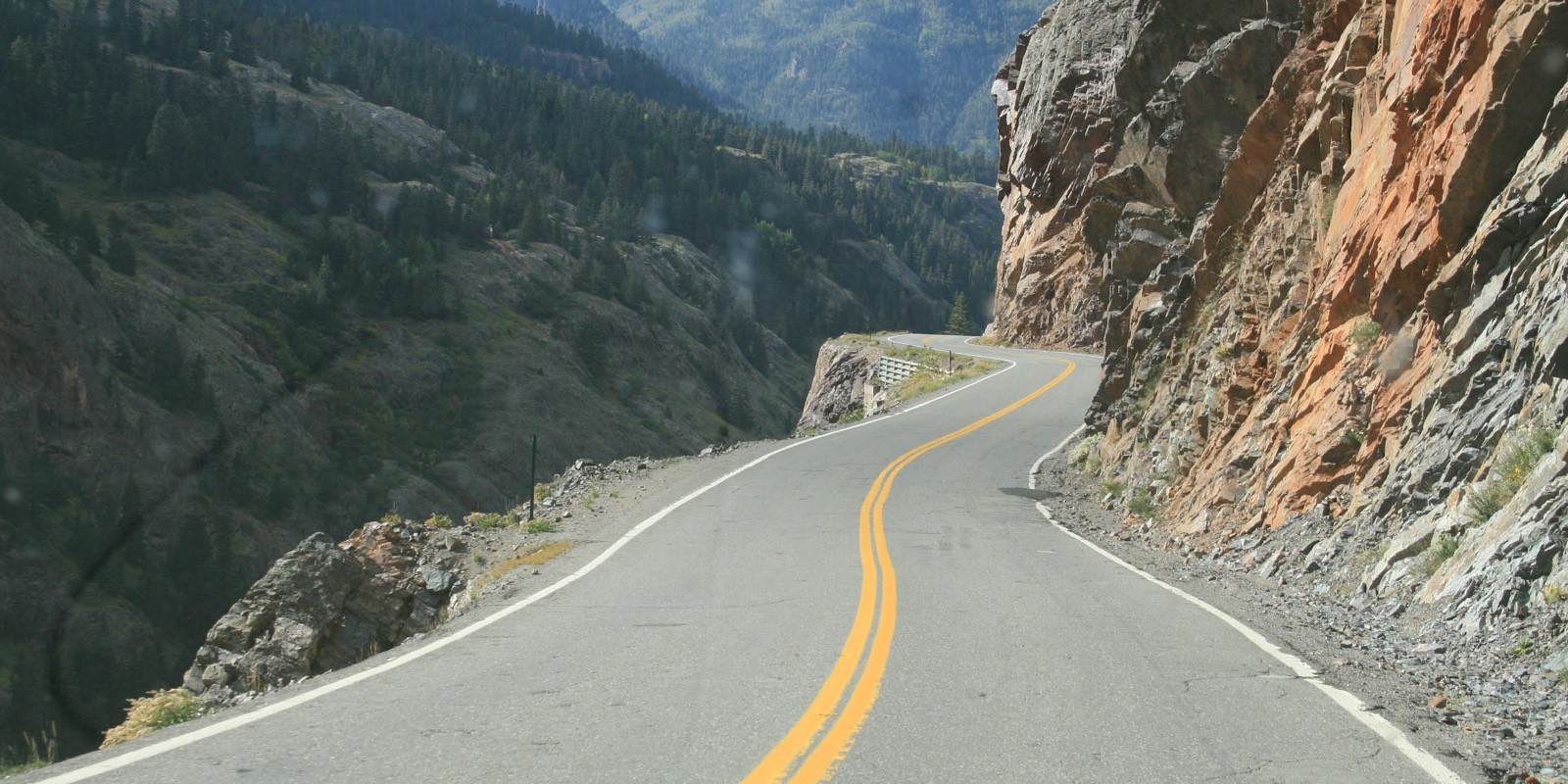
The Mesa Verde park road climbs from the entrance road off US 160 onto the mesa in tight switchbacks and runs south to Chapin Mesa. The National Park Service describes it as steep, narrow and winding. Speeds are low and the curves constant, and the cliff dwellings are the reason to come.
The drive is 17.2 miles and about 40 minutes, with about 2,200 feet of climb. It is driven toward Chapin Mesa because the cliff-dwelling overlooks are beyond it. Chapin Mesa is about an hour from Cortez and 1.5 hours from Durango.
The road is open in winter but can close when conditions are hazardous.
Along the way
- Mesa Verde entrance road (US-160)
- Chapin Mesa
Good to know
- Mesa Verde charges an entrance fee, and the park does not take cash at the entrance.
- The road is steep, narrow and winding, so allow extra time.
- Check the park's conditions page for current road status.
Open all year, weather permitting. Roads close for snow, fire, storms and repairs: before you set off, check Mesa Verde road conditions (NPS).
Questions about this drive
How long does the Mesa Verde park road take to drive?
The Mesa Verde park road from the entrance road to Chapin Mesa is 17.2 miles and takes about 40 minutes.
Is there a fee to drive the Mesa Verde park road?
Yes. Mesa Verde has an entrance fee, and the park does not accept cash at the entrance.
Is the Mesa Verde park road open in winter?
The main park road generally stays open in winter but can close when conditions are hazardous. Check the park's conditions page.
What you get in the app
Free on iPhone and Android. CarPlay and Android Auto come with Apex.
More drives near here



Distance, time, elevation, curves and intensity are from Carve's route. Checked 2026-10-28.