Drives Alberta Banff, Jasper and the Canadian Rockies
Highway 1A: Cochrane to Canmore
1A, Bow Valley Trail · Cochrane → Canmore

The drive
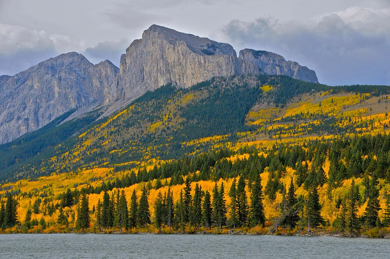
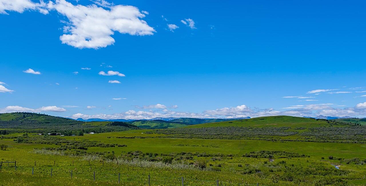
This drive runs west from Cochrane at Highway 22 along Highway 1A. It passes along the north shore of Ghost Lake, a human-made lake popular for boating, sailing and ice sailing, then through the Stoney Nakoda First Nation and Exshaw into Canmore. The distance is 43.3 miles, about 55 minutes, leisurely with mostly gentle curves and about 1,900 feet of climb.
Just east of Highway 1X, Wikipedia notes the road narrows and the speed limit drops to 80 km/h for roughly 30 km through the Stoney Nakoda First Nation, with signs for livestock and pedestrians.
Along the way
- Cochrane (Highway 22)
- Ghost Lake
- Exshaw
- Canmore
Good to know
- Watch for the lower speed limit through the Stoney Nakoda First Nation, where signs warn of livestock and pedestrians.
- Highway 1A is not part of the Trans-Canada Highway network; it leaves Highway 1 at exit 91 in Canmore.
Open all year, weather permitting. Roads close for snow, fire, storms and repairs: before you set off, check 511 Alberta.
Questions about this drive
How long is Highway 1A from Cochrane to Canmore?
Cochrane to Canmore is 43.3 miles and takes about 55 minutes.
Is there a lower speed limit on Highway 1A near Morley?
Yes: Wikipedia notes the limit drops to 80 km/h for roughly 30 km through the Stoney Nakoda First Nation.
Where does Highway 1A meet the Cowboy Trail?
In Cochrane, where Highway 1A meets Highway 22.
What you get in the app
Free on iPhone and Android. CarPlay and Android Auto come with Apex.
More drives near here


Distance, time, elevation, curves and intensity are from Carve's route. Checked 2026-10-28.