Drives Massachusetts Boston, Cape Cod, Rhode Island and Connecticut
South Road and Moshup Trail
South Road, State Road, Moshup Trail · West Tisbury → Aquinnah

The drive
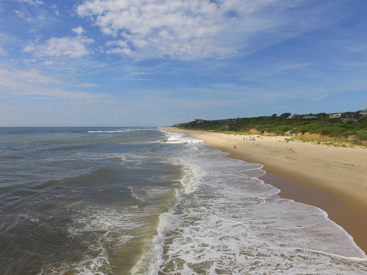
South Road and Moshup Trail runs 11.1 miles from West Tisbury to Aquinnah on Martha's Vineyard. It heads west on State Road and South Road through Chilmark, past stone-walled farmland and ponds, then drops toward the Atlantic on Moshup Trail. The drive takes about 22 minutes and climbs 620 feet to a high point of 194 feet.
The road ends near the Gay Head cliffs at Aquinnah. Lanes are narrow and the pace is slow, which suits the scenery. Summer brings heavy traffic and plenty of cyclists, and a published cycling guide describes country roads with sandy shoulders and blind curves, with Moshup Trail a favored way to avoid tour buses.
The island takes a ferry to reach, so the drive is part of a larger trip. Early mornings and the shoulder seasons are the quietest.
Along the way
- West Tisbury (State Road)
- Aquinnah (South Road)
Good to know
- Expect cyclists on the whole route, often riding two abreast on the narrow sections with blind curves.
- Parking at the Aquinnah cliffs and Moshup Beach is paid in summer and limited, so arrive early.
- Beach access near Moshup Trail is closed from mid-September to mid-June, according to the Martha's Vineyard Land Bank map.
- Climbing the cliffs or taking clay from them is prohibited.
Open all year, weather permitting. Roads close for snow, fire, storms and repairs: before you set off, check Mass511 traveler information.
Questions about this drive
How long does South Road and Moshup Trail take?
The drive from West Tisbury to Aquinnah is 11.1 miles and takes about 22 minutes without stops.
Is South Road on Martha's Vineyard good for cycling?
Many people ride it, and a published cycling guide recommends the Chilmark to Aquinnah ride. Shoulders are sandy in places and curves are blind, so drivers should pass slowly.
Is there parking at the Aquinnah cliffs?
There is paid parking in season, and it is limited, so arriving before midday is recommended.
What you get in the app
Free on iPhone and Android. CarPlay and Android Auto come with Apex.
More drives near here


Distance, time, elevation, curves and intensity are from Carve's route. Checked 2026-10-28.