Drives Georgia North Georgia and the Upstate
Highway 177: Okefenokee
GA 177 · Fargo → Stephen C. Foster

The drive
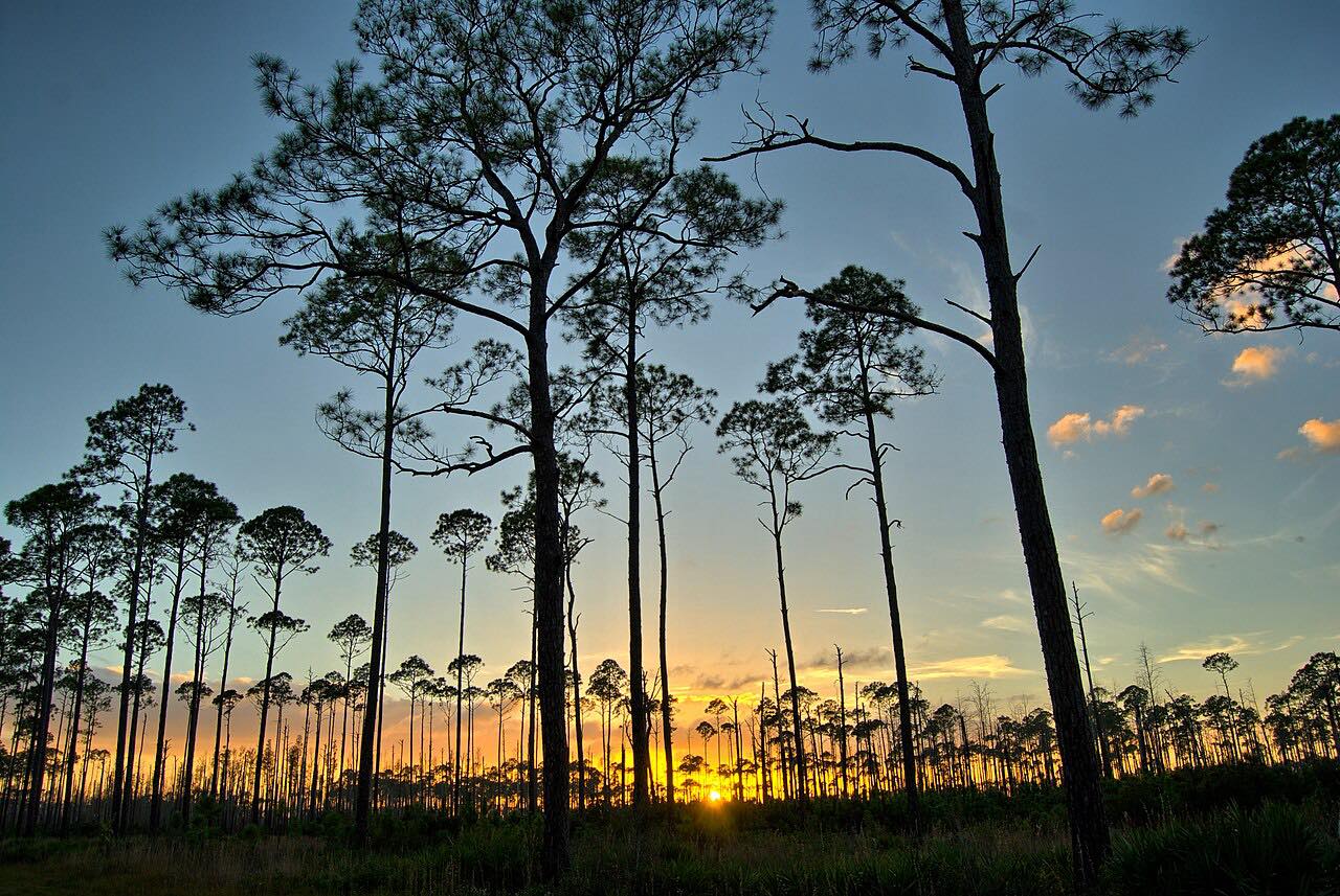
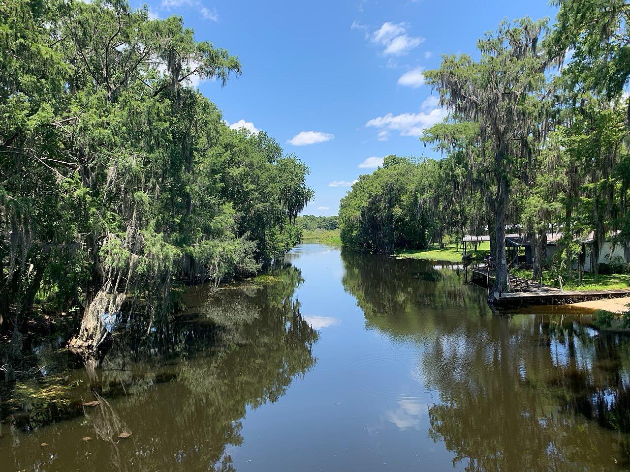
Georgia 177 runs northeast from Fargo into the western edge of the Okefenokee Swamp. It is a straight road through blackwater, cypress and longleaf pine, with 10 feet of climb. The swamp is the reason to drive it.
The road ends at the park gate. The park, long called Stephen C. Foster State Park, is now Okefenokee State Park. It sits inside the Okefenokee National Wildlife Refuge, which has an estimated 12,000 American alligators.
The route is 16.8 miles and takes about 24 minutes. It is a dead end, so plan to return the same way.
Along the way
- Fargo
- Stephen C. Foster
Good to know
- Parking at the state park requires a fee, and the refuge charges a $5 fee.
- Park gates lock at 10 p.m.
- Alligators and black bears live in the refuge; view them from a distance.
Open all year, weather permitting. Roads close for snow, fire, storms and repairs: before you set off, check 511GA (Georgia DOT).
Questions about this drive
How long is Highway 177 from Fargo to the Okefenokee?
Highway 177 from Fargo to the park is 16.8 miles and takes about 24 minutes.
Is Stephen C. Foster State Park the same as Okefenokee State Park?
Yes. The state park at the end of the road, long called Stephen C. Foster State Park, is now Okefenokee State Park.
Is Highway 177 a dead end?
Yes. Highway 177 ends at the state park gate, so plan a round trip.
What you get in the app
Free on iPhone and Android. CarPlay and Android Auto come with Apex.
More drives near here


Distance, time, elevation, curves and intensity are from Carve's route. Checked 2026-10-28.