
Drives Quebec Montreal, the Laurentians and the Eastern Townships
Route 131: Saint-Jean-de-Matha to Saint-Michel-des-Saints
Route 131, Route Louis-Cyr · Saint-Jean-de-Matha → Saint-Michel-des-Saints


The drive
Route 131 runs about 125 km from Lavaltrie to Saint-Michel-des-Saints, and this drive takes its northern part, north from Saint-Jean-de-Matha. The town sits in the Matawinie area of Lanaudière, and Route 337 ends at Route 131 there.
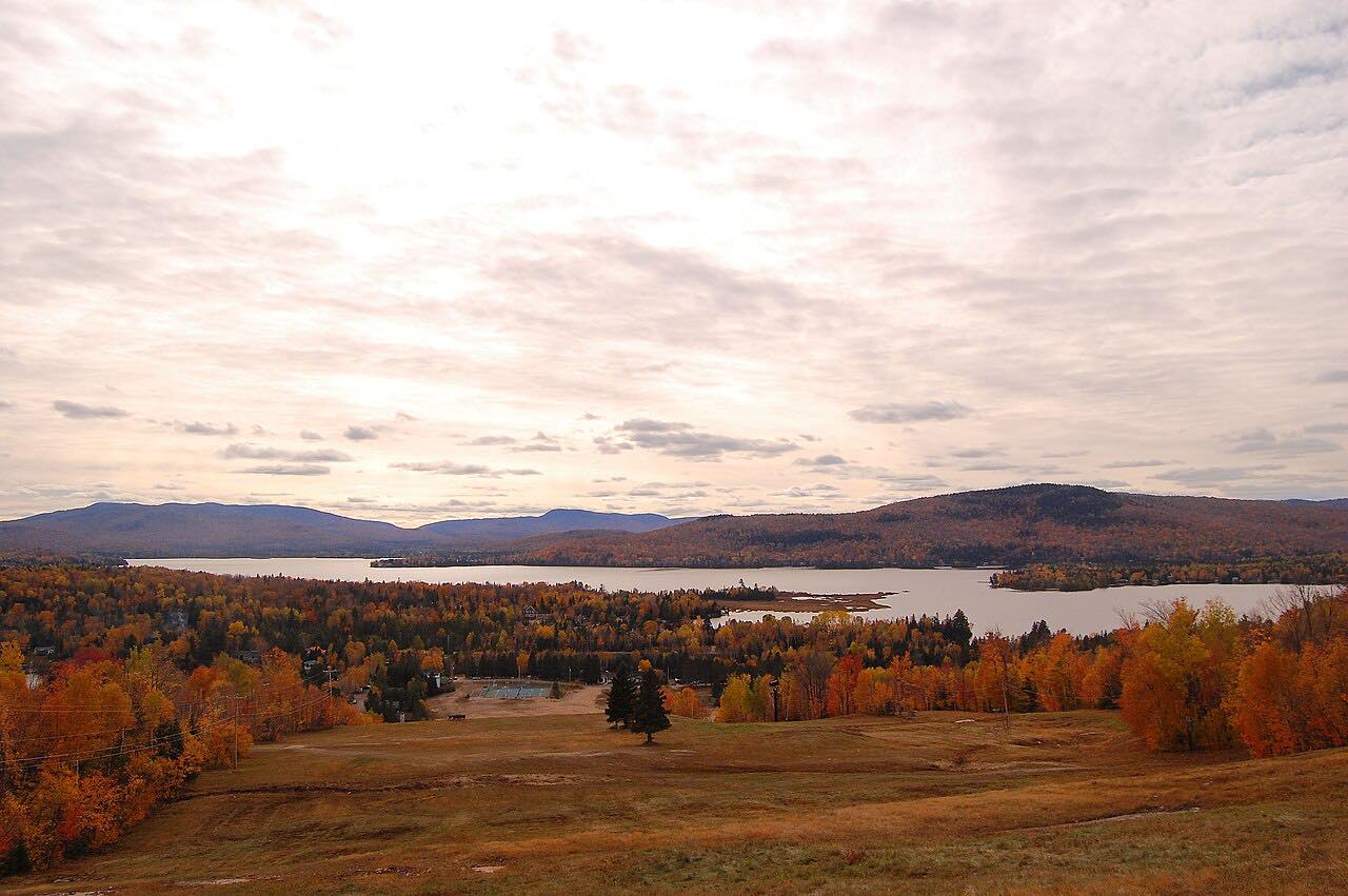
The road climbs from farmland into the Lanaudière hills and Laurentian lakes. It is a steady, forested two-lane road, ending at Saint-Michel-des-Saints, where Route 131 meets Chemin de Saint-Ignace.
The start is on the village edge, a short way from Route 131 itself.
Along the way
- Saint-Jean-de-Matha
- Saint-Michel-des-Saints
Good to know
- It is an ordinary two-lane road with local traffic, so watch for slow vehicles and wildlife.
- Check Québec 511 for current conditions in the colder months.
Open all year, weather permitting. Roads close for snow, fire, storms and repairs: before you set off, check Québec 511.
Questions about this drive
How long is Route 131 from Saint-Jean-de-Matha to Saint-Michel-des-Saints?
Route 131 from Saint-Jean-de-Matha to Saint-Michel-des-Saints is 41.5 miles and takes about 54 minutes.
Where does Route 131 end?
Route 131's northern end is at Chemin de Saint-Ignace in Saint-Michel-des-Saints.
Which region is Route 131 in?
This part of Route 131 is in Lanaudière, in the Matawinie area north of Joliette.
What you get in the app
Free on iPhone and Android. CarPlay and Android Auto come with Apex.
More drives near here
 Route 329: Sainte-Agathe to Saint-DonatLeisurely · Laurentians, Quebec · 19.2 mi
 Route 364: Saint-Sauveur to WeirLeisurely · Laurentians, Quebec · 21 mi
 Route 329: Morin-Heights to Sainte-AgatheSweeping · Laurentians, Quebec · 14.6 mi
 Bolton Pass and Missisquoi ValleyLeisurely · Eastern Townships, Quebec · 28 mi
Distance, time, elevation, curves and intensity are from Carve's route. Checked 2026-10-28.