Drives Quebec Montreal, the Laurentians and the Eastern Townships
Route 329: Sainte-Agathe to Saint-Donat
Laurentians, Quebec · Sainte-Agathe-des-Monts → Saint-Donat


The drive
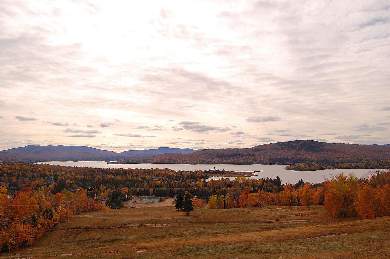
This is the northern part of Route 329, driven from Sainte-Agathe-des-Monts near Route 117 to Saint-Donat. Wikipedia describes the highway as serving many lakes and cottage communities in the Middle and Upper Laurentians, and its northern end is at Route 125 in Saint-Donat, just south of Mont-Tremblant National Park.
The drive is 19.2 miles and takes about 25 minutes. It passes through Lantier on the way to Saint-Donat and ends on the approach to town, before Route 125. The intensity is Leisurely.
Along the way
- Sainte-Agathe-des-Monts (Route 117)
- Saint-Donat
Good to know
- Route 329 shares the road with Route 117 briefly at Sainte-Agathe-des-Monts, where this drive begins.
- Check Québec 511 for current roadwork before you go.
Open all year, weather permitting. Roads close for snow, fire, storms and repairs: before you set off, check Québec 511.
Questions about this drive
How long does Route 329 from Sainte-Agathe to Saint-Donat take?
Route 329 from Sainte-Agathe-des-Monts to Saint-Donat is 19.2 miles and takes about 25 minutes.
Where does Route 329 end?
Route 329 ends at Route 125 in Saint-Donat, just south of Mont-Tremblant National Park. This drive stops on the way into Saint-Donat, before Route 125.
What towns does this Route 329 drive pass through?
It starts in Sainte-Agathe-des-Monts, passes through Lantier, and ends at Saint-Donat.
What you get in the app
Free on iPhone and Android. CarPlay and Android Auto come with Apex.
More drives near here
 Route 329: Morin-Heights to Sainte-AgatheSweeping · Laurentians, Quebec · 14.6 mi
 Route 364: Saint-Sauveur to WeirLeisurely · Laurentians, Quebec · 21 mi
 Route 131: Saint-Jean-de-Matha to Saint-Michel-des-SaintsLeisurely · Route 131, Route Louis-Cyr · 42 mi
 Route 307: Cantley to Val-des-BoisSweeping · Route Principale · 32 mi
Distance, time, elevation, curves and intensity are from Carve's route. Checked 2026-10-28.