
Drives California Gold Country and Tahoe
Highway 70: Feather River Canyon
CA 70, CA 89 · Jarbo Gap → Quincy

The drive
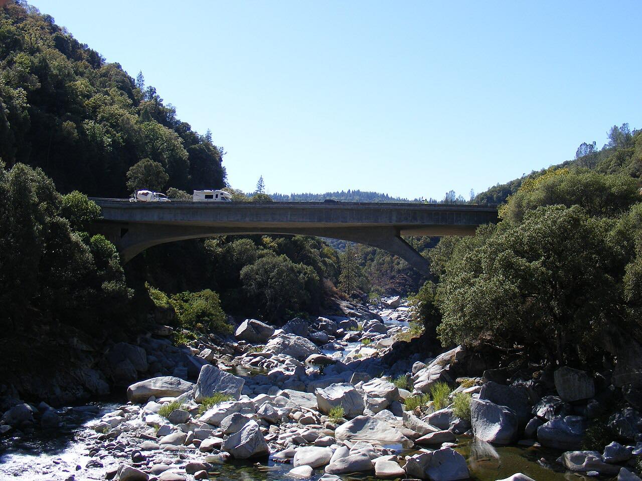
Highway 70 drops from Jarbo Gap into the North Fork Feather River canyon and follows the river almost all the way to Quincy. The road was built in the 1930s alongside the Feather River Route railroad, and the two keep trading sides of the canyon. At Pulga a highway arch bridge crosses high over a lower railroad truss bridge, one of the best-known sights on the drive.
Soon after Pulga the road passes through three rock tunnels: Arch Rock, Grizzly Dome and Elephant Butte. Belden comes next, with the canyon walls close on both sides. The curves are steady and moderate, with twistier stretches near the start, around mile 23 to 26, and again before Quincy. Past the Highway 89 junction near Paxton the road shares its number with 89, follows Spanish Creek past Keddie, and ends in Quincy in the American Valley.
Along the way
- Jarbo Gap
- Pulga bridges
- Belden
- Quincy
Good to know
- Rockslides have closed the canyon in the past, and storms can bring slides again; check Caltrans before going after heavy rain.
- The canyon is a through route, so expect trucks as well as sightseers.
Open all year, weather permitting. Roads close for snow, fire, storms and repairs: before you set off, check Caltrans: Highway 70 conditions.
Questions about this drive
How long does Highway 70 through the Feather River Canyon take?
Highway 70 from Jarbo Gap to Quincy is 55 miles and takes about 1 hr 20 min without stops.
How twisty is Highway 70 in the Feather River Canyon?
It is mostly moderate curves, with three twistier stretches: near Jarbo Gap, around mile 23 to 26, and before Quincy. It is a sweeping drive more than a tight one.
Is Highway 70 through the Feather River Canyon open in winter?
Yes, it is a year-round highway. Storms can cause rockslides and closures, so check Caltrans road conditions first.
What are the tunnels on Highway 70 in the Feather River Canyon?
The road passes through three tunnels: Arch Rock, Grizzly Dome and Elephant Butte. They come soon after the Pulga bridges.
What you get in the app
Free on iPhone and Android. CarPlay and Android Auto come with Apex.
More drives near here



Distance, time, elevation, curves and intensity are from Carve's route. Checked 2026-10-28.