Drives New Mexico Southern New Mexico
James Canyon: Cloudcroft to Mayhill
US 82, James Canyon Highway · Cloudcroft → Mayhill

The drive
East of Cloudcroft, US 82 leaves the high country and runs through James Canyon, signed as the James Canyon Highway, toward Mayhill and the Rio Penasco valley. The drive is 18.2 miles in about 25 minutes. It starts near 8,700 feet, at the top of the Sacramento Mountains, and the bends come in steady, sweeping runs without any tight stretches.
This is the quieter half of the crossing from Alamogordo to Mayhill. It continues from the climb out of the Tularosa Basin, so the two drives pair naturally. East of the mountains the highway descends onto the plains of eastern New Mexico.
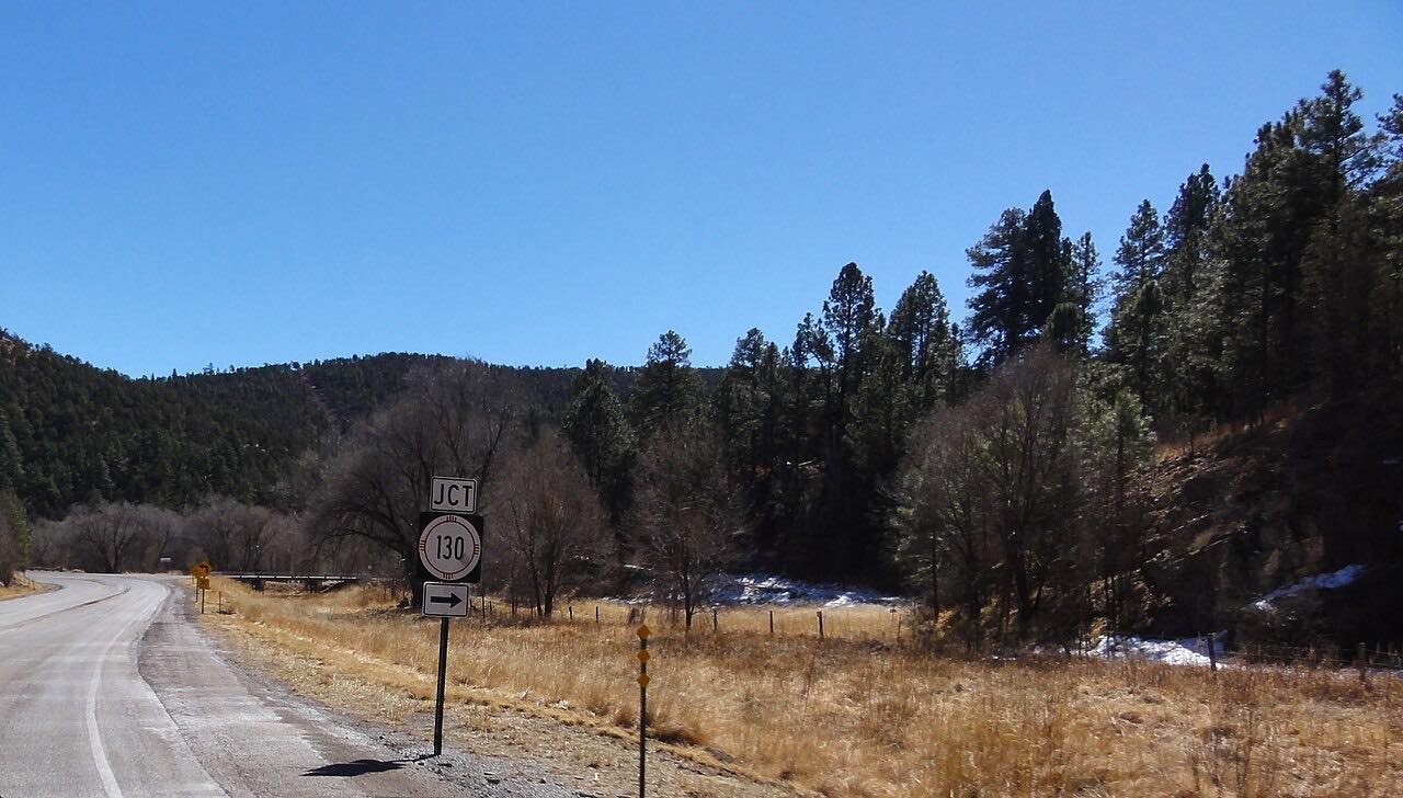
At Mayhill, US 82 meets NM 130, which runs west up the Rio Penasco toward Weed and Sacramento. NM 130 also links back to Cloudcroft, 21.9 miles between its two ends on US 82, so it is an alternate way to make a loop.
Along the way
- Cloudcroft (US-82 east)
- Mayhill
Good to know
- Cloudcroft sits above 8,600 feet, so winter weather can reach this road; check NMRoads before you go.
- NM 130 runs parallel between Cloudcroft and Mayhill if you want to return a different way.
Open all year, weather permitting. Roads close for snow, fire, storms and repairs: before you set off, check NMRoads (NMDOT road conditions).
Questions about this drive
How long does James Canyon from Cloudcroft to Mayhill take?
US 82 from Cloudcroft to Mayhill through James Canyon is 18.2 miles and takes about 25 minutes without stops.
Is James Canyon twisty?
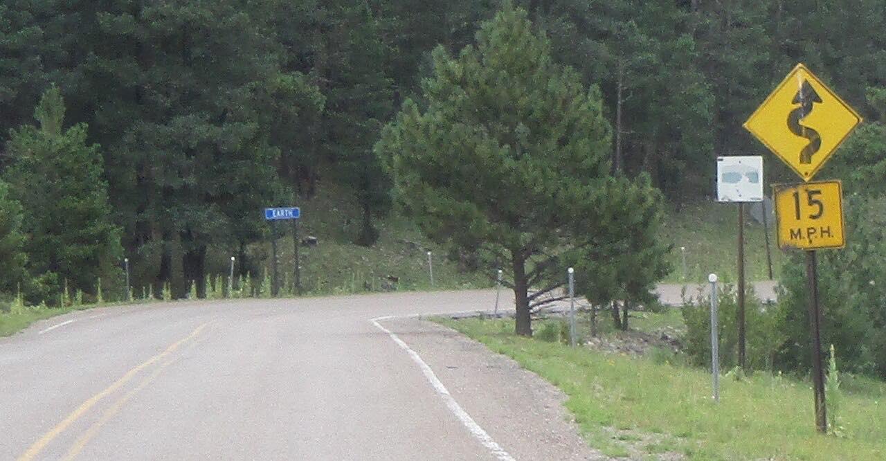
It has steady, sweeping bends rather than tight ones, with no sharp twisty stretches. It is a relaxed mountain drive.
What is NM 130 near Cloudcroft?
NM 130 runs 21.9 miles between US 82 in Cloudcroft and US 82 in Mayhill, so it is a parallel alternative to the James Canyon Highway.
Can I drive James Canyon in either direction?
Yes. US 82 runs both ways between Cloudcroft and Mayhill; this drive heads downhill from Cloudcroft, continuing on from the climb out of Alamogordo.
What you get in the app
Free on iPhone and Android. CarPlay and Android Auto come with Apex.
More drives near here




Distance, time, elevation, curves and intensity are from Carve's route. Checked 2026-10-28.