Drives Colorado Colorado Springs and Southern Colorado
Pikes Peak Highway
Pikes Peak, Colorado · Cascade → Pikes Peak summit

The drive
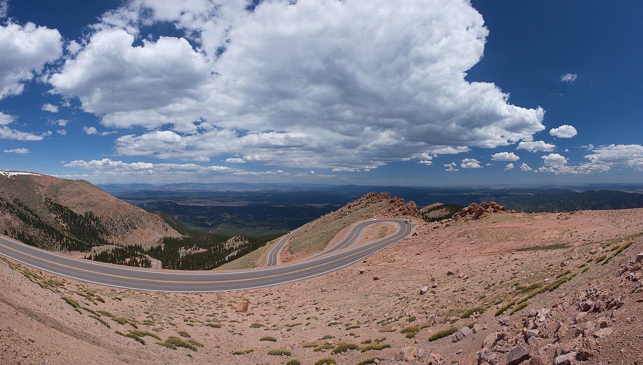
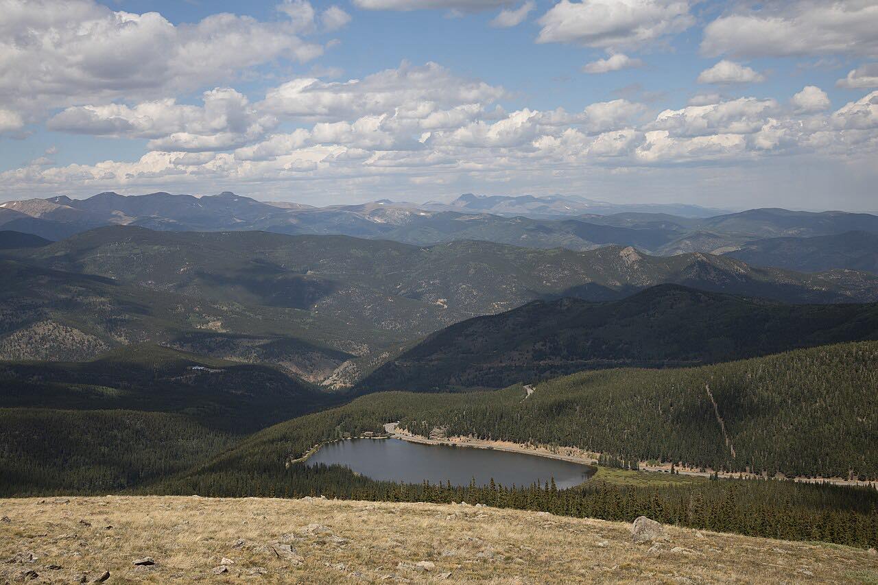
This is the toll road up Pikes Peak, from the gate at Cascade to the 14,115-foot summit. It is about 19 miles with more than 150 turns. The lower miles wind through forest past Crystal Reservoir, then the road climbs above treeline through switchbacks, passing Glen Cove on the way to the top.
It is the most demanding drive in this group: narrow, steep, and with few guardrails in the upper sections, and with a 6,700-foot climb to a summit where the air is thin and the weather changes fast.
Plan on about an hour up, plus time at the top. Drivers who go in the late afternoon should leave time for the downhill gates, which close earlier in the off season.
Along the way
- Cascade
- Crystal Reservoir
- Glen Cove
- Pikes Peak summit
Good to know
- It is a toll road with a per-person fee or a carload rate; the city posts current rates.
- A timed reservation is required from late May through September, and not from October through late May.
- From October 1 to May 21 uphill gates open at 9 a.m. and the last entry is 3 p.m.; call the information line for conditions.
- Weather can close the upper road, and the highway is closed Thanksgiving and Christmas.
Open all year, weather permitting. Roads close for snow, fire, storms and repairs: before you set off, check Pikes Peak Highway hours and rates.
Questions about this drive
How long does the Pikes Peak Highway take to drive?
The Pikes Peak Highway from Cascade to the summit is 18.6 miles and takes about 55 min each way without stops.
Do you need a reservation for Pikes Peak Highway?
A reservation is required from late May to September 30. It is not required from October 1 to late May.
Is there a toll on the Pikes Peak Highway?
Yes. The city charges a per-person toll or a carload rate; check the city's hours and rates page for the current amounts.
Is Pikes Peak Highway open in winter?
It is open year-round, weather permitting, though storms can close the upper road. In the off season the uphill gates open at 9 a.m. and close to new entries at 3 p.m.
What you get in the app
Free on iPhone and Android. CarPlay and Android Auto come with Apex.
More drives near here

Distance, time, elevation, curves and intensity are from Carve's route. Checked 2026-10-28.