Drives Texas Big Bend and West Texas
US-385: Marathon to Persimmon Gap
US 385 · Marathon → Persimmon Gap

The drive
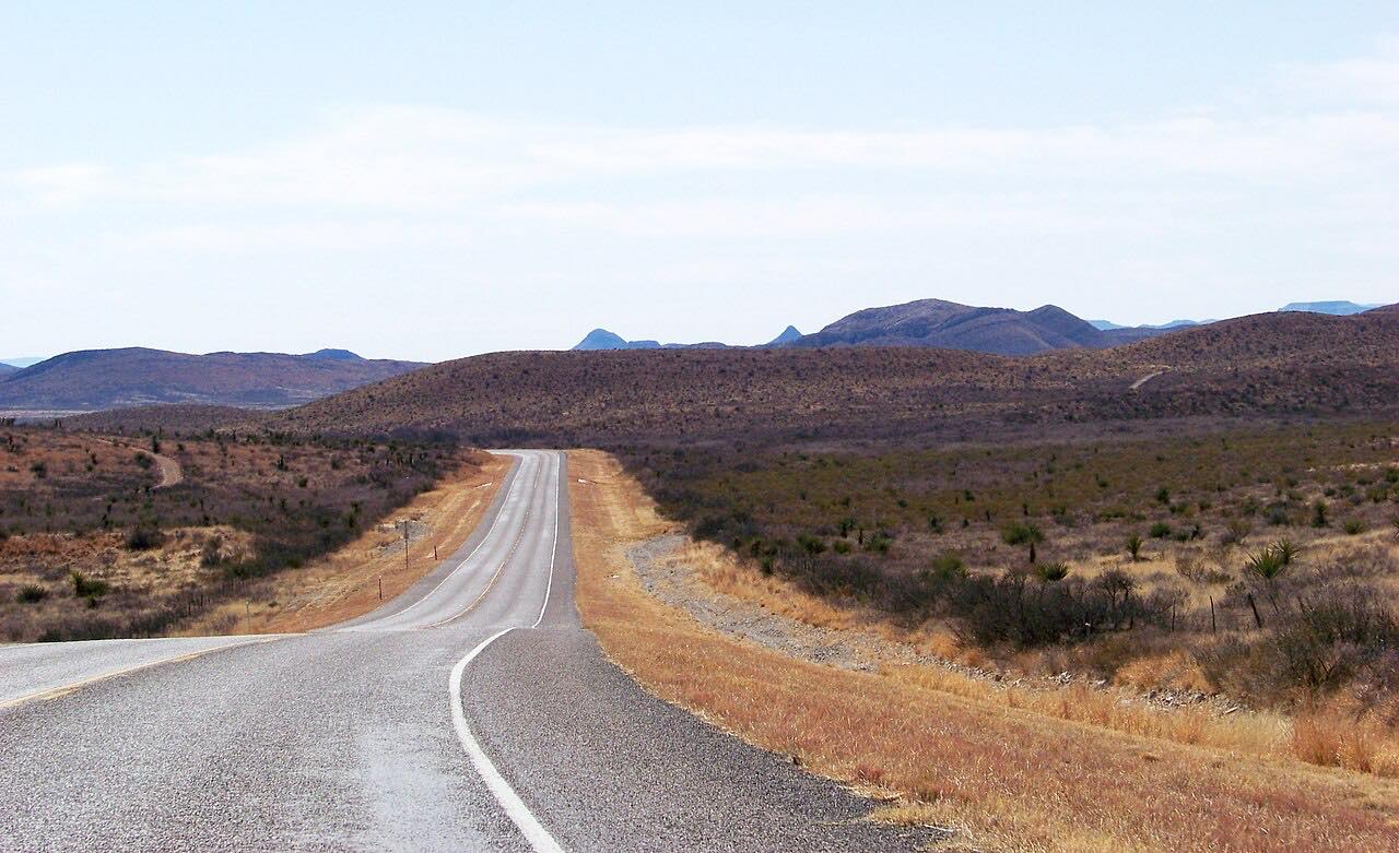
US 385 is the classic way into Big Bend National Park from the north. It leaves the small railroad town of Marathon and heads south across open Chihuahuan Desert, a straight, quiet two-lane road with distant mountains on the horizon and very little between you and them.
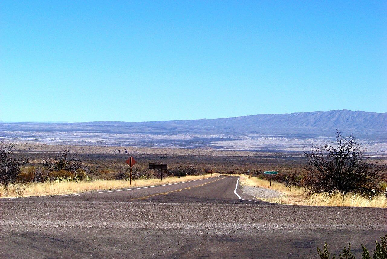
The road slowly loses height as it goes, running toward the Santiago Mountains and Persimmon Gap, a low pass through them that the Comanches once used on the Great Comanche Trail. The drive ends on US 385 just short of the gap and the park's north entrance station, about 42 miles from Marathon. Past it, the road carries on into the park, where the Chisos Mountains come into view, toward Panther Junction.
It's not a road for corners. What it gives you is space, long sight lines and an easy start to a Big Bend trip.
Along the way
- Marathon
- Persimmon Gap
Good to know
- Fill up in Marathon: the park advises carrying plenty of fuel, food and water, and there's nothing along this stretch.
- There's a park entrance fee, paid at the Persimmon Gap entrance station or, when it's unstaffed, at the nearest visitor center.
- GPS and map apps can be unreliable in the Big Bend area, and the park suggests carrying a paper map.
- Northbound, on the way back to Marathon, there's a Border Patrol checkpoint on US 385.
Open all year, weather permitting. Roads close for snow, fire, storms and repairs: before you set off, check National Park Service: Big Bend current conditions.
Questions about this drive
How long is the drive from Marathon to Big Bend's Persimmon Gap?
US 385 from Marathon to Persimmon Gap is 39.1 miles and takes about 40 minutes. The park's north entrance station is about 42 miles south of Marathon.
Is there gas between Marathon and Big Bend National Park?
Not along US 385 to Persimmon Gap. Fill up in Marathon; the park itself has only limited camp stores, and it has no EV charging.
Is there a fee to enter Big Bend on US 385?
Yes. Big Bend National Park charges an entrance fee, paid at the Persimmon Gap entrance station on US 385 or at a visitor center if the station isn't staffed.
Is US 385 to Big Bend a curvy road?
No. US 385 from Marathon to Persimmon Gap is mostly straight, with gentle curves and about 500 feet of climbing; it's an easy desert drive.
What you get in the app
Free on iPhone and Android. CarPlay and Android Auto come with Apex.
More drives near here




Distance, time, elevation, curves and intensity are from Carve's route. Checked 2026-10-28.