
Drives Colorado Durango, Telluride and the San Juans
Lizard Head Pass: Highway 145
CO 145 · Telluride → Dolores

The drive
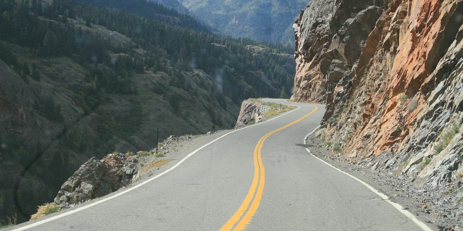
Highway 145 climbs south from Telluride, leaving at Society Turn, and passes Ophir and Trout Lake on the way to Lizard Head Pass at about 10,200 feet. The summit is high country of peaks and aspens, with Lizard Head Peak standing beside the road.
South of the pass the road drops along the Dolores River through Rico, then runs through the river canyon to Dolores. The drive is 61 miles and takes about 1 hr 15 min, with gentle curves all the way.
It is part of the San Juan Skyway, and it can be paired with the Dallas Divide drive in the other direction out of Telluride.
Along the way
- Telluride (Society Turn)
- Trout Lake
- Lizard Head Pass
- Rico
- Dolores
Good to know
- CDOT warns of summer afternoon thundershowers on the San Juan Skyway and says to ask about road conditions in winter.
- Check COtrip before you go.
Open all year, weather permitting. Roads close for snow, fire, storms and repairs: before you set off, check CDOT COtrip.
Questions about this drive
How long does Lizard Head Pass take to drive?
Telluride to Dolores on Highway 145 over Lizard Head Pass is 61 miles and takes about 1 hr 15 min.
How high is Lizard Head Pass?
Lizard Head Pass is about 10,200 feet on Highway 145, between Telluride and Rico.
Is Lizard Head Pass part of the San Juan Skyway?
Yes. Highway 145 over Lizard Head Pass is part of the San Juan Skyway.
What you get in the app
Free on iPhone and Android. CarPlay and Android Auto come with Apex.
More drives near here


Distance, time, elevation, curves and intensity are from Carve's route. Checked 2026-10-28.