Drives California The North Bay
Highway 1: Jenner to Gualala
Coast Highway, CA 1, Shoreline Highway · Jenner → Gualala

The drive
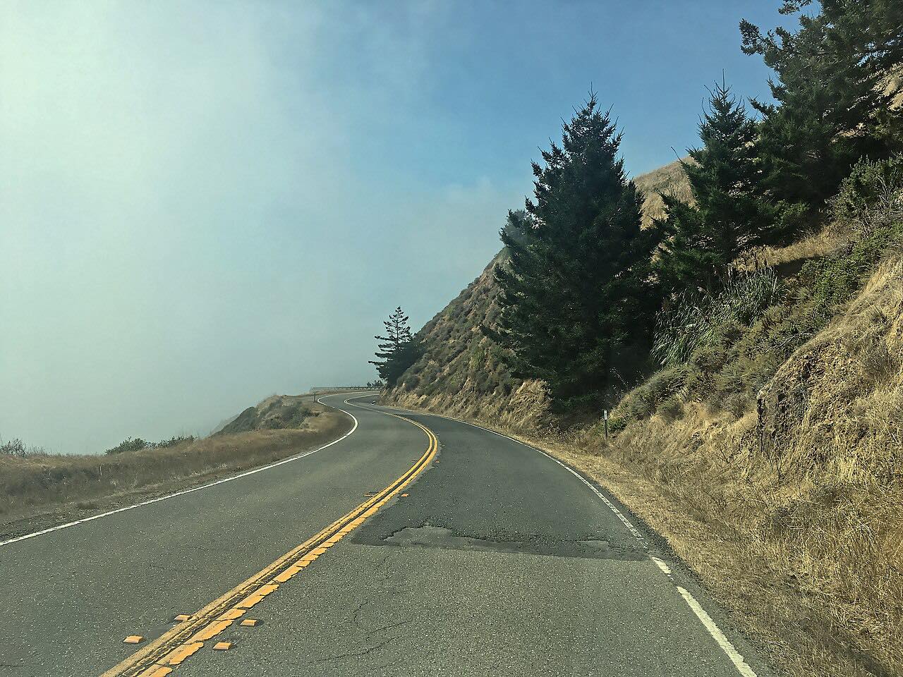
North of Jenner, Highway 1 leaves the mouth of the Russian River and climbs straight onto the bluffs, and the next dozen miles are the twistiest of the drive, high above the surf with long drops to the sea.
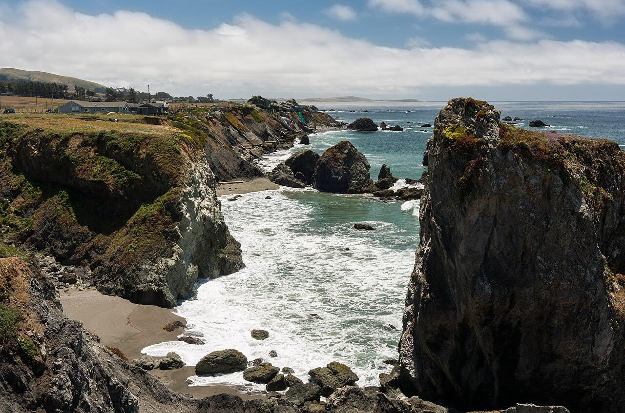
About 12 miles up is Fort Ross State Historic Park, where a reconstructed stockade and buildings mark the Russian-American Company's settlement of 1812 to 1841, the southernmost Russian colony in North America. Beyond it the road passes Stillwater Cove, a county park with a small beach popular with kayakers and divers, then Salt Point State Park, six miles of sandstone cliffs, coves and forested hills.
North of Stewarts Point the highway runs along The Sea Ranch, a private community whose six public coastal access trails lead down to the beaches, and ends in Gualala, just across the Mendocino County line. Gualala Point Regional Park, just south of town, has bluff trails and a beach where the Gualala River meets the sea.
Along the way
- Jenner (Highway 116)
- Fort Ross
- Stewarts Point
- Gualala
Good to know
- The first miles north of Jenner are narrow and very tight, with steep drops to the sea; use the turnouts to let faster cars by.
- Fort Ross and Salt Point charge a day-use fee per vehicle; the Sea Ranch access trails have free parking.
- Cell reception is limited or missing along much of this coast.
Open all year, weather permitting. Roads close for snow, fire, storms and repairs: before you set off, check Caltrans highway conditions: Highway 1.
Questions about this drive
How long does it take to drive Highway 1 from Jenner to Gualala?
Highway 1 from Jenner to Gualala is 37.8 miles and takes about 1 hr 10 min without stops.
Is Highway 1 north of Jenner scary?
The stretch of Highway 1 just north of Jenner is narrow and very twisty, high on the bluffs above the ocean; it's fine at a steady pace, but it isn't for rushing.
Is there a fee at Fort Ross?
Yes. Fort Ross State Historic Park on Highway 1 charges a day-use fee per vehicle.
Can you visit the beaches at The Sea Ranch?
Yes. Six public coastal access trails off Highway 1 lead through The Sea Ranch to the beaches, with free parking at the trailheads.
What you get in the app
Free on iPhone and Android. CarPlay and Android Auto come with Apex.
More drives near here


Distance, time, elevation, curves and intensity are from Carve's route. Checked 2026-10-28.