
Drives California The North Coast
Highway 128: Cloverdale to the Coast
CA 128 · Cloverdale → Navarro River mouth

The drive
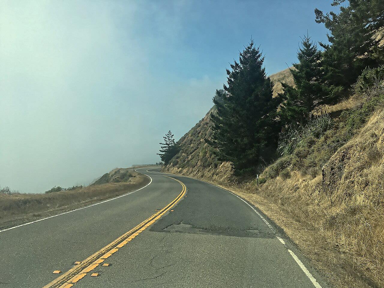
Highway 128 is the classic way from US 101 to the Mendocino coast. From Cloverdale it twists up over the hills to Yorkville, the curviest part of the drive, then rolls into Anderson Valley, a long valley of vineyards, orchards and small towns. Boonville, once so isolated it grew its own dialect, and Philo sit on the highway, with most of the valley's wineries strung between Philo and Navarro.
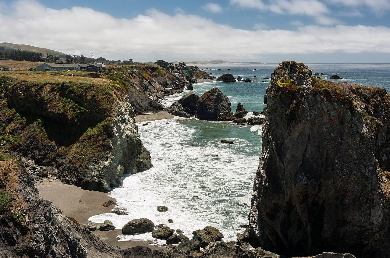
Past Navarro the road follows the Navarro River down to the sea through Navarro River Redwoods State Park, a corridor of redwoods along the river, and meets Highway 1 at the river mouth. From there Highway 1 runs north to Albion and Mendocino.
It's driven from Cloverdale toward the coast, the way most drivers use it, so the redwoods and the ocean come at the end.
Along the way
- Cloverdale (US-101)
- Boonville
- Navarro River mouth (Highway 1)
Good to know
- The Navarro River stretch near the coast floods in heavy winter storms, and Caltrans closes it until the water drops.
- Navarro River Redwoods State Park is on the highway about two miles east of Highway 1, with a campground at Paul M. Dimmick that is open in summer only.
- The climb from Cloverdale to Yorkville is the curviest part, with many miles of tight corners before the valley opens out.
Open all year, weather permitting. Roads close for snow, fire, storms and repairs: before you set off, check Caltrans: Highway 128 conditions.
Questions about this drive
How long does Highway 128 from Cloverdale to the coast take?
Highway 128 from US 101 at Cloverdale to Highway 1 at the Navarro River mouth is 55 miles and takes about 1 hour 20 minutes without stops.
Does Highway 128 close in winter?
Highway 128 is open year-round, but the stretch along the Navarro River near the coast closes when the river floods in big storms, sometimes for a day or more.
Is Highway 128 through Anderson Valley twisty?
Highway 128 is twisty between Cloverdale and Yorkville and again in places along the Navarro River; through Anderson Valley itself it's gentle.
What towns are on Highway 128 to Mendocino?
Between Cloverdale and the coast, Highway 128 passes Yorkville, Boonville, Philo and Navarro before reaching Highway 1 south of Albion and Mendocino.
What you get in the app
Free on iPhone and Android. CarPlay and Android Auto come with Apex.
More drives near here



Distance, time, elevation, curves and intensity are from Carve's route. Checked 2026-10-28.