
Drives Colorado Denver, Boulder and the Front Range
Guanella Pass
County Road 62, County Road 381 · Georgetown → Grant

The drive
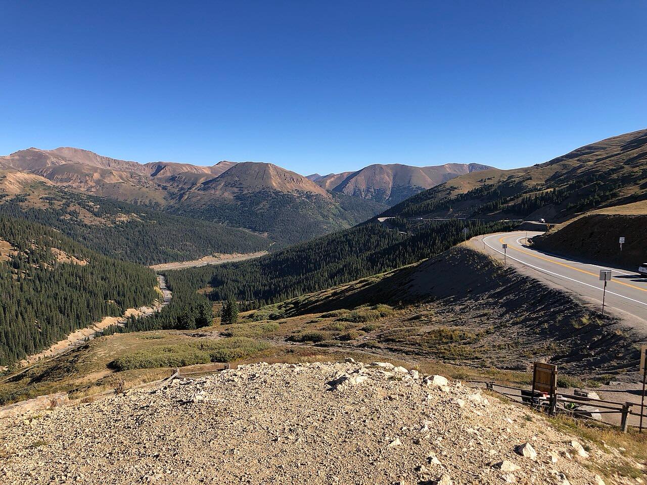
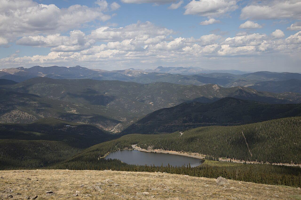
Guanella Pass connects Georgetown, on I-70, with Grant on US 285. The drive heads south from Georgetown on a road of switchbacks, rising through spruce, fir, aspen and pine into broad meadows and then above treeline near the crest at about 11,700 feet. Mount Bierstadt and Mount Evans stand on either side of the pass.
South of the summit the road drops through the Geneva Creek valley to Grant. The byway is about 22 miles and takes roughly an hour, and it is paved the whole way.
Georgetown and Silver Plume, at the start, are two of the state's best-preserved Victorian towns, and the Georgetown Loop Historic Mining and Railroad Park is close by.
Along the way
- Georgetown
- Guanella Pass
- Grant (US-285)
Good to know
- The pass closes for winter on or about the Thanksgiving weekend and reopens around Memorial Day weekend. The gates are at Naylor Lake on the Clear Creek side and Burning Bear on the Park County side.
- Parking on the shoulder within half a mile of the summit is not allowed, and the $87.50 parking fine is enforced. Use the lots.
- Large RVs are not recommended on the byway.
- It can close briefly in storms or when leaf-season traffic blocks emergency access.
Closed from about Thanksgiving to Memorial Day weekend. Roads close for snow, fire, storms and repairs: before you set off, check Clear Creek County: Guanella Pass information.
Questions about this drive
When does Guanella Pass close for winter?
Guanella Pass closes after Thanksgiving and reopens on or about Memorial Day weekend. Clear Creek County gates the road at Naylor Lake and Park County at Burning Bear.
Is Guanella Pass paved?
Yes. Guanella Pass is paved all the way from Georgetown to Grant.
How long does Guanella Pass take to drive?
Georgetown to Grant over Guanella Pass is 23 miles and takes about 1 hr.
Can RVs drive Guanella Pass?
Clear Creek County says large RVs are not recommended on the Guanella Pass byway because of the tight, steep road.
What you get in the app
Free on iPhone and Android. CarPlay and Android Auto come with Apex.
More drives near here



Distance, time, elevation, curves and intensity are from Carve's route. Checked 2026-10-28.