Drives California Los Angeles
Bouquet Canyon Road
Bouquet Canyon Road · Vasquez Canyon Road → Leona Valley

The drive
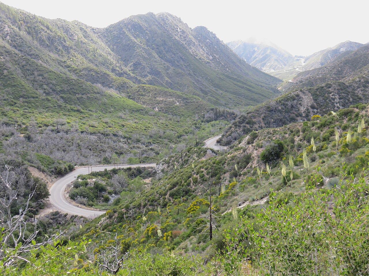
Bouquet Canyon Road is a two-lane road up a creek canyon from the north edge of Santa Clarita to the high desert of Leona Valley. Bouquet Creek runs alongside for much of the way through the Angeles National Forest, and the road follows it bend for bend: 18 miles of steady curves with the tightest stretch in the middle.
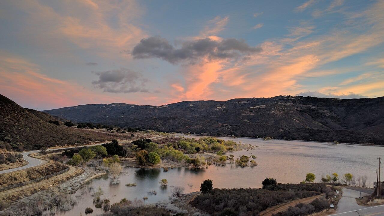
Higher up the canyon it passes Bouquet Reservoir, part of the Los Angeles Aqueduct system, held back by an earthen dam built in 1934. Above the reservoir the country opens up into the Sierra Pelona, and the road comes out into Leona Valley, ending just short of Elizabeth Lake Road.
The canyon has a long history: it's named for the old Bouquet Ranch, and it was also once known as Hangman's Canyon and Dead Man's Canyon. From Leona Valley, Elizabeth Lake Road leads west to Lake Hughes, where the Lake Hughes Road drive comes up from Castaic.
Along the way
- Vasquez Canyon Road
- Bouquet Reservoir
- Leona Valley (Elizabeth Lake Road)
Good to know
- The Saugus end of Bouquet Canyon Road, between Benz Road and David Way, has had construction closures; if it is closed, reach the start from Sierra Highway by way of Vasquez Canyon Road.
- LA County closes the canyon section with gates ahead of significant storms.
- Expect cyclists and motorcycles on weekends.
Open all year, weather permitting. Roads close for snow, fire, storms and repairs: before you set off, check LA County Public Works road closures.
Questions about this drive
How long does Bouquet Canyon Road take?
Bouquet Canyon Road from Vasquez Canyon Road to Leona Valley is 17.8 miles and takes about 25 minutes, climbing about 2,600 feet.
Is Bouquet Canyon Road open?
The canyon section of Bouquet Canyon Road is open except during storms, when LA County closes it. The Saugus section between Benz Road and David Way has had construction closures, so check before you go.
Why does Bouquet Canyon Road close when it rains?
Bouquet Canyon Road runs beside Bouquet Creek, and LA County closes the canyon section with gates ahead of heavy rain because of flooding and debris.
Is Bouquet Canyon Road twisty?
Bouquet Canyon Road is mostly moderate curves, with a twistier stretch of about eight miles in the canyon near the start.
What you get in the app
Free on iPhone and Android. CarPlay and Android Auto come with Apex.
More drives near here




Distance, time, elevation, curves and intensity are from Carve's route. Checked 2026-10-28.