
Drives Mississippi The Natchez Trace and Mississippi Hills
Natchez Trace Parkway: Port Gibson to Jackson
Natchez Trace, Mississippi · Port Gibson → Ross Barnett Reservoir


The drive
This stretch of the Natchez Trace Parkway runs north from Port Gibson, where it meets Highway 18, to the Ross Barnett Reservoir on the edge of Jackson, about 65 miles. The National Park Service runs it as a quiet parkway with no commercial traffic.
The best-known stop is Rocky Springs at milepost 54.8. It was a rural community of about 25 square miles, settled from the late 1790s, with a peak population near 2,600; the boll weevil, the Civil War and yellow fever thinned it out, and the last store closed in the 1930s. What remains is a Methodist church and its cemetery, two rusting safes and old cisterns, all reachable from the parkway. Farther north, the overlook at milepost 105.6 looks out over Ross Barnett Reservoir, near Jackson.
The speed limit is 50 mph, dropping to 40 near Ridgeland. This is a relaxed drive with gentle curves under a hardwood canopy, and it continues the Natchez to Port Gibson drive.
Along the way
- Port Gibson (Highway 18)
- Rocky Springs
- Clinton
- Ross Barnett Reservoir
Good to know
- There are no entrance fees, and commercial vehicles are prohibited on the parkway.
- The parkway has no food, gas or lodging; restrooms are maintained along the way, usually no more than 50 miles apart, so fuel up in Port Gibson or Jackson.
- The Trace is a designated bicycle route, so expect cyclists and pass only when the oncoming lane is clear.
- The Rocky Springs campground at milepost 54.8 has no camping fee.
Open all year, weather permitting. Roads close for snow, fire, storms and repairs: before you set off, check Natchez Trace Parkway road and site status (NPS).
Questions about this drive
How long does the Natchez Trace Parkway from Port Gibson to Jackson take?
The Natchez Trace Parkway from Port Gibson to the Ross Barnett Reservoir is 65.2 miles and takes about 1 hr 30 min.
Is there a fee to drive the Natchez Trace Parkway?
No. There are no entrance fees to the Natchez Trace Parkway or any of its facilities.
What is the speed limit on the Natchez Trace Parkway?
The Natchez Trace Parkway speed limit is 50 mph unless otherwise posted, and drops to 40 mph near Ridgeland.
Are trucks allowed on the Natchez Trace Parkway?
No. Commercial vehicles are prohibited on the parkway.
What is Rocky Springs on the Natchez Trace?
Rocky Springs, at milepost 54.8, is an abandoned town site with a church, cemetery and old safes that you can visit from the parkway.
What you get in the app
Free on iPhone and Android. CarPlay and Android Auto come with Apex.
More drives near here
 Natchez Trace Parkway: Natchez to Port GibsonLeisurely · Southwest Mississippi · 41 mi
Highway 10: St. Francisville to ClintonLeisurely · Jackson Road, LA 10 · 25 mi
 Natchez Trace Parkway: Kosciusko to TupeloLeisurely · Natchez Trace, Mississippi · 96 mi
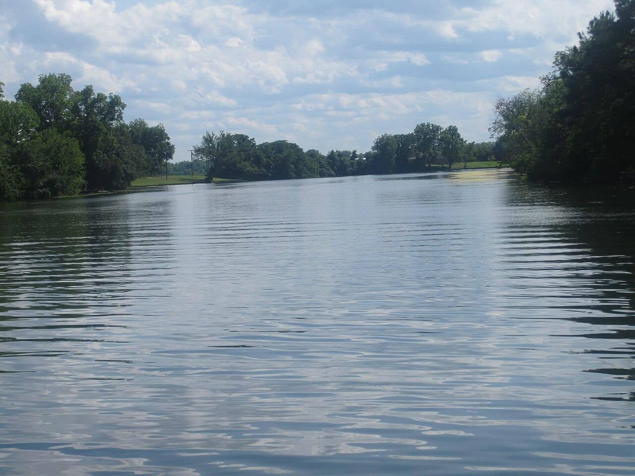 Cane River: Highway 494Leisurely · LA 494, LA 119 · 21 mi
Distance, time, elevation, curves and intensity are from Carve's route. Checked 2026-10-28.