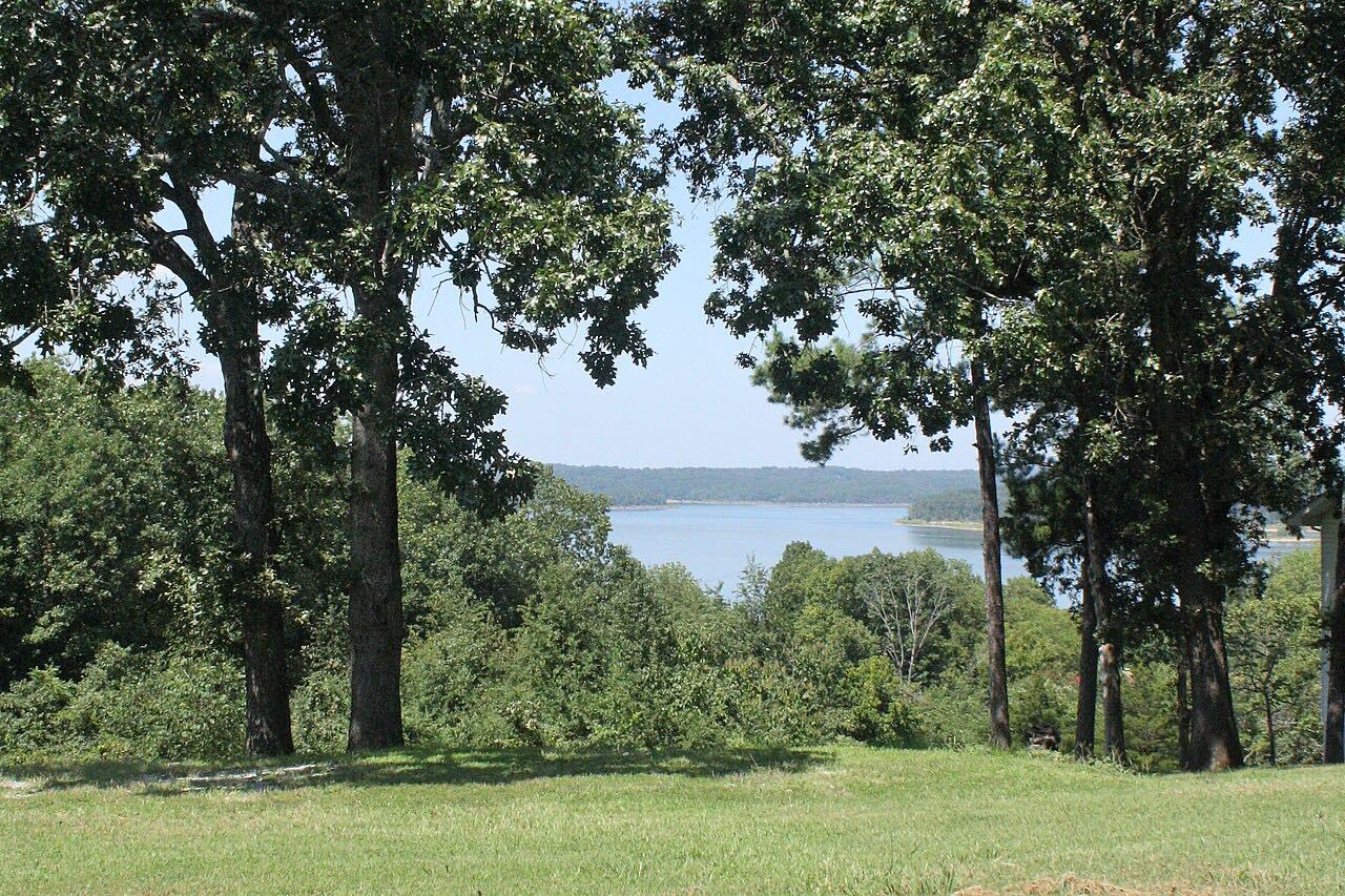
Drives Arkansas The Ozarks: Arkansas and Missouri
Push Mountain Road
AR 341 · Highway 14 → Near Norfork

The drive
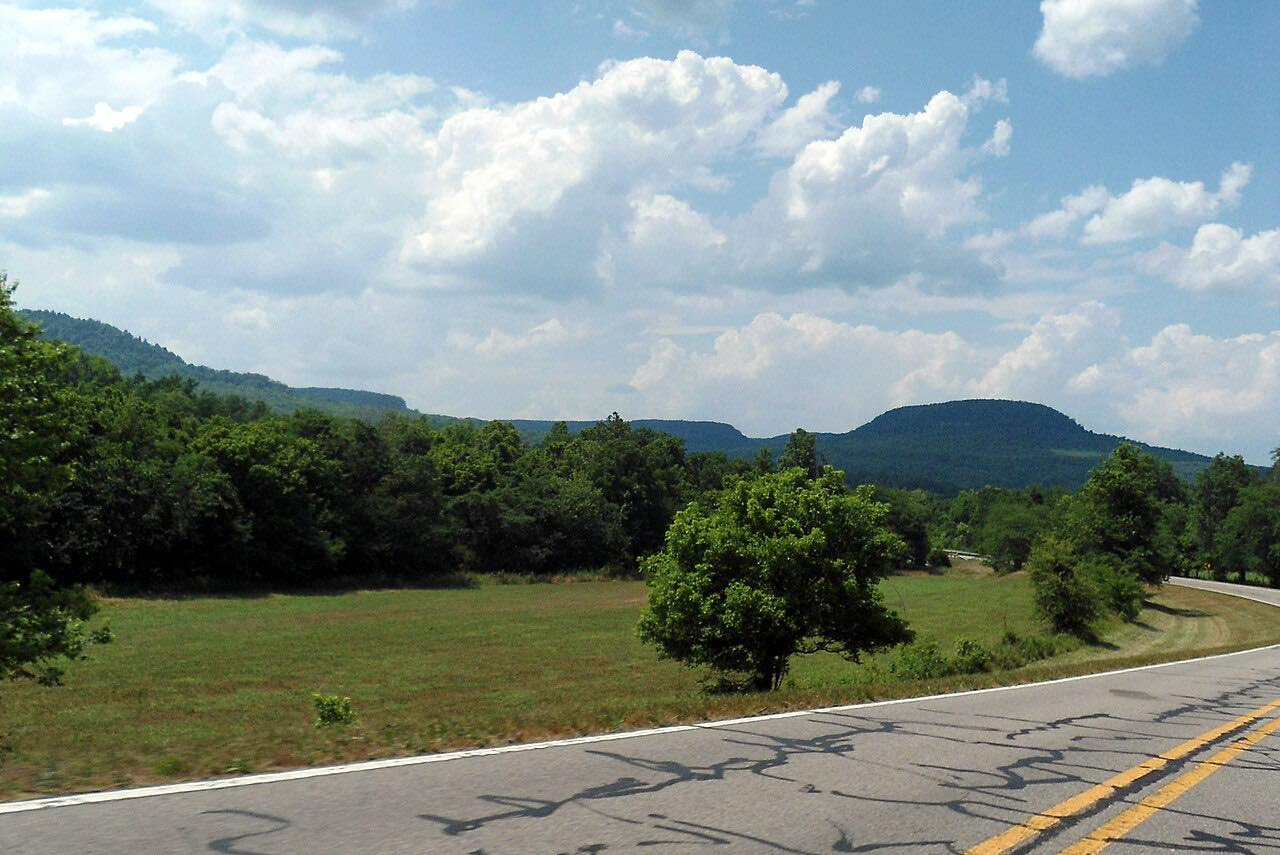
Push Mountain Road is Highway 341, a lightly traveled road in north-central Arkansas that riders on Motorcycle Roads rate 4.7 out of 5. The drive starts at Highway 14 and runs 24.8 miles north to Highway 5 near Norfork.
Rider reviews describe constant elevation changes, a long run of curves and a descent with sheer drop-offs, and they say the northern part crosses the White River. It is rated Sweeping, with about 35 minutes of driving.
Reviews also warn about the pavement: good to fair, with bumps and uneven patches, and gravel after rain.
Along the way
- Highway 14 (Push Mountain Road)
- Near Norfork (Highway 5)
Good to know
- Riders report no services along the road: carry fuel and supplies.
- Reviews mention uneven pavement, and gravel on the road after rain.
- Deer and rabbits are reported near dusk, so slow down toward evening.
- The highway department stopped posting the small street sign at the turn off Highway 14; watch for the Arkansas 341 sign.
Open all year, weather permitting. Roads close for snow, fire, storms and repairs: before you set off, check IDrive Arkansas (ARDOT road conditions).
Questions about this drive
How long is Push Mountain Road?
This drive is 24.8 miles and takes about 35 minutes from Highway 14 to Highway 5 near Norfork.
Are there gas stations on Push Mountain Road?
Rider reports say there are no services along the road itself, so fill up before you start.
Is Push Mountain Road paved?
Yes, riders describe it as paved, in good to fair condition, with some bumps and dips.
What you get in the app
Free on iPhone and Android. CarPlay and Android Auto come with Apex.
More drives near here


Distance, time, elevation, curves and intensity are from Carve's route. Checked 2026-10-28.