

The drive
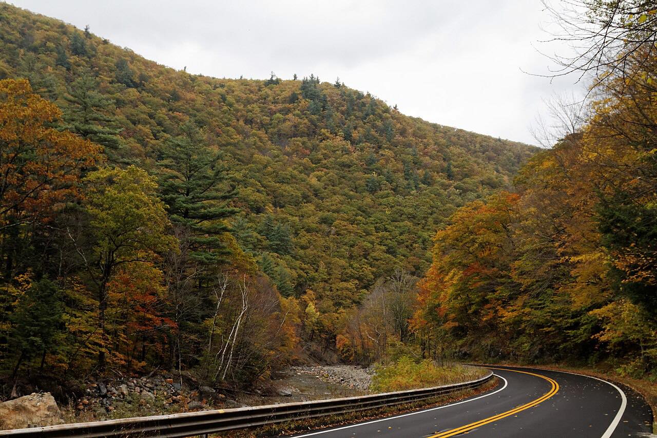
Vermont Route 9 is known as the Molly Stark Trail, or Molly Stark Byway, along its whole length, named for Molly Stark, wife of the Revolutionary War general John Stark. This drive runs 36.8 miles east from Bennington to West Brattleboro and takes about 55 minutes, with gentle curves and a long climb of about 3,300 feet over the Green Mountains.
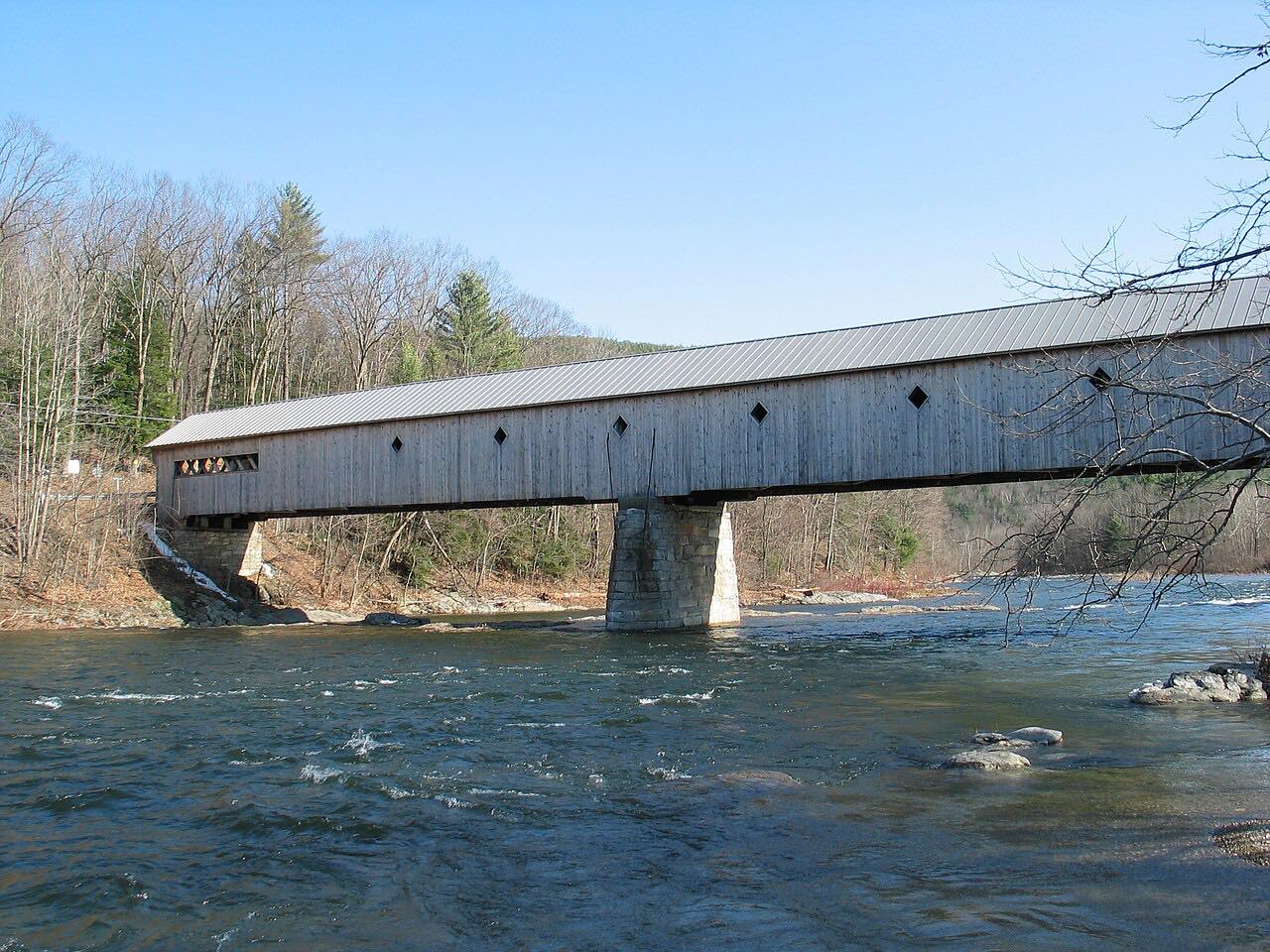
Leaving Bennington on Woodford Road, the highway climbs along City Stream through Woodford, crosses the Appalachian Trail and Long Trail and summits near Big Pond. It passes Searsburg, then descends beside the Deerfield River to Wilmington, where Route 9 shares the road with Route 100 through the town center.
East of Wilmington the road climbs again, past Molly Stark State Park, to the Hogback Mountain overlook in Marlboro. The view there stretches across Vermont, Massachusetts and New Hampshire, mainly to the south and east, to Mount Monadnock and Wachusett Mountain. The mountain was a ski area until 1986, and the old slopes are now hiking trails open year-round.
Along the way
- Bennington
- Wilmington
- Hogback Mountain overlook
- West Brattleboro
Good to know
- Route 9 shares the road with Route 100 through the center of Wilmington, so expect village traffic there.
- The Hogback Mountain view faces mainly south and east, so it opens up as you head east.
- Check New England 511 for closures and roadwork, especially around Brattleboro.
Open all year, weather permitting. Roads close for snow, fire, storms and repairs: before you set off, check New England 511: Vermont road conditions.
Questions about this drive
How long does the Molly Stark Trail (Vermont Route 9) take to drive?
From Bennington to West Brattleboro is 36.8 miles and takes about 55 minutes.
Why is Vermont Route 9 called the Molly Stark Trail?
It is named for Molly Stark, wife of Revolutionary War general John Stark.
Where is the Hogback Mountain overlook?
It is on Route 9 in Marlboro, with views toward Mount Monadnock in New Hampshire and Wachusett Mountain in Massachusetts.
What towns does the Molly Stark Trail pass through?
Between Bennington and West Brattleboro it passes Woodford, Searsburg, Wilmington and Marlboro.
What you get in the app
Free on iPhone and Android. CarPlay and Android Auto come with Apex.
More drives near here



Distance, time, elevation, curves and intensity are from Carve's route. Checked 2026-10-28.