
Drives California Los Angeles
Stunt Road and Saddle Peak Road
Stunt Road · Calabasas → Tuna Canyon Road

The drive
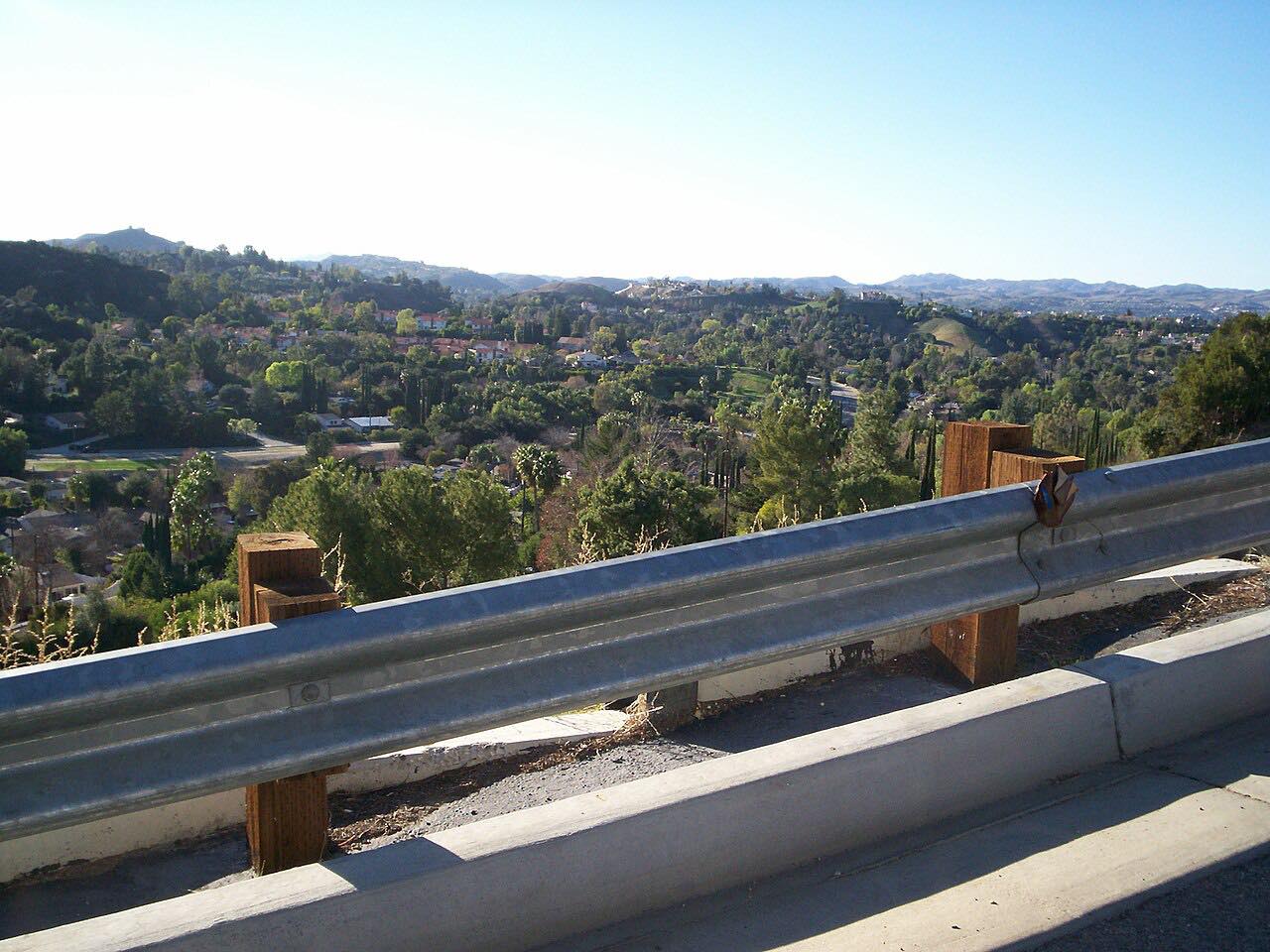
Stunt Road and Saddle Peak Road make a short, steep climb along the crest of the Santa Monica Mountains. The drive starts on Stunt Road in Calabasas and rises about 1,100 feet, to roughly 2,500 feet, in a little over five miles. Stunt Road, Schueren Road and Saddle Peak Road meet at a saddle east of Saddle Peak, and the drive carries on along Saddle Peak Road to the Tuna Canyon Road junction.
Saddle Peak rises to 2,789 feet and looks out to the Pacific on one side and other Santa Monica ridges on the other. A feeder trail leads up to it from near the top of Stunt Road, and the Backbone Trail passes the summit. For the driver this is a very tight road, rated Intense, with sharp bends and long views.
Along the way
- Calabasas (Stunt Road)
- Tuna Canyon Road
Good to know
- The bends are sharp, the road is narrow and the route is twisty most of the way; drive slowly and keep to your side.
- Parking is limited along Stunt Road and there is none on nearby Piuma Road.
- Cyclists climb this road regularly.
- Rattlesnakes occasionally appear on the trails around Saddle Peak, so watch your step if you stop to walk.
Open all year, weather permitting. Roads close for snow, fire, storms and repairs: before you set off, check LA County Public Works: road closures.
Questions about this drive
How long does Stunt Road and Saddle Peak Road take?
Stunt Road and Saddle Peak Road make a 5.1-mile drive that takes about 15 minutes, because the bends keep speeds low.
How twisty are Stunt Road and Saddle Peak Road?
Very. The route is rated Intense and is twisty most of the way, with sharp climbing bends in just five miles.
Where do Stunt Road, Schueren Road and Saddle Peak Road meet?
They meet at a saddle just east of Saddle Peak, where there is a viewpoint and the start of a trail up to the peak.
How high is Saddle Peak?
Saddle Peak is 2,789 feet. The drive's high point is about 2,500 feet along the crest below it.
What you get in the app
Free on iPhone and Android. CarPlay and Android Auto come with Apex.
More drives near here



Distance, time, elevation, curves and intensity are from Carve's route. Checked 2026-10-28.