
Drives California The High Sierra
Carson Pass: Highway 88
CA 88, Carson Pass, CA 89 · Cook's Station → Woodfords

The drive
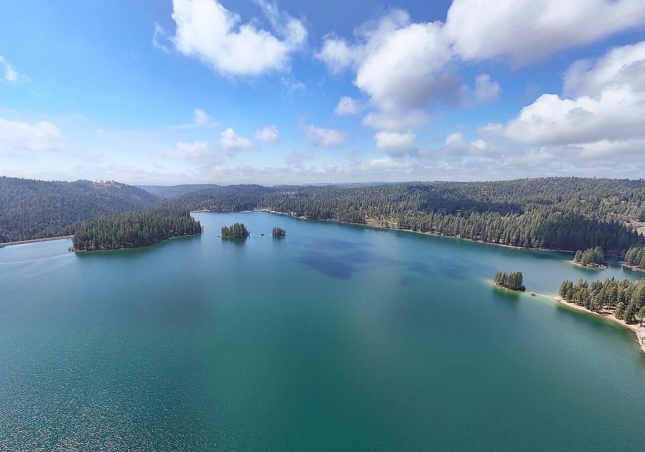
Highway 88 climbs from Cook's Station along a forested ridge, passing Silver Lake and Kirkwood on the way to Carson Pass at 8,574 feet. The pass sits on the Great Basin Divide, on the crest of the Sierra, with the South Fork American River draining west and the West Fork Carson River east. The Pacific Crest Trail crosses the summit.
Kit Carson carved his name on a tree near here, and California Historical Landmark 315 marks the spot. The Mormon emigrants of 1848 made this a main Gold Rush route over the Sierra. East of the summit the road drops through Hope Valley and down the West Carson River canyon to Woodfords. The curves are gentle and sweeping the whole way, and the highway is kept open in winter.
Along the way
- Cook's Station
- Silver Lake
- Kirkwood
- Carson Pass summit
- Woodfords
Good to know
- Highway 88 stays open in winter, but chain controls are common during storms.
- The summit is at 8,574 feet, so snow can arrive early and linger.
- Woodfords is where Highway 89 turns off to Markleeville.
Open all year, weather permitting. Roads close for snow, fire, storms and repairs: before you set off, check Caltrans: Highway 88 conditions.
Questions about this drive
How long does Carson Pass on Highway 88 take?
Highway 88 from Cook's Station to Woodfords over Carson Pass is 49 miles and takes about 1 hr 5 min.
Is Carson Pass open in winter?
Yes, Highway 88 over Carson Pass is kept open in winter, often with chain controls. Check Caltrans road conditions before you go.
How high is Carson Pass?
Carson Pass on Highway 88 is 8,574 feet above sea level.
Is Highway 88 over Carson Pass twisty?
No. It is mostly gentle, sweeping curves, with no especially twisty stretches.
What you get in the app
Free on iPhone and Android. CarPlay and Android Auto come with Apex.
More drives near here


Distance, time, elevation, curves and intensity are from Carve's route. Checked 2026-10-28.