Drives Ontario Toronto, Niagara and Southern Ontario
Highway 28: Burleigh Falls to Bancroft
Highway 28 · Burleigh Falls → Bancroft

The drive
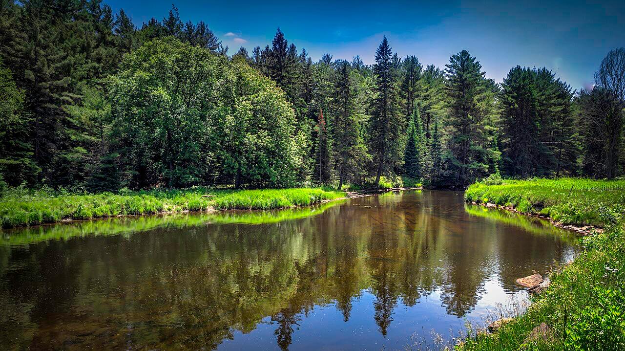
Highway 28 runs north from Burleigh Falls and heads northeast through rugged Canadian Shield country to Bancroft. Soon after Burleigh Falls the terrain turns to exposed granite and coniferous forest, with rock cuts, lakes and long hills along the way.
The 43 miles take about 45 minutes. This is a sweeping road, not a twisty one: the pleasure is the scenery and the long, easy bends, with about 2,100 feet of total climb.
The drive ends in Bancroft, where Highway 28 meets Highway 62.
Along the way
- Burleigh Falls
- Bancroft
Good to know
- Check Ontario 511 before leaving for current lane closures.
- The road between the two ends is mostly forest and lakes.
Open all year, weather permitting. Roads close for snow, fire, storms and repairs: before you set off, check Ontario 511.
Questions about this drive
How long does Highway 28 from Burleigh Falls to Bancroft take?
Highway 28 from Burleigh Falls to Bancroft is 43 miles and takes about 45 minutes.
Is Highway 28 twisty?
Not very. Highway 28 is a leisurely drive of long hills and sweeping bends through Canadian Shield rock and forest.
Is there construction on Highway 28 near Bancroft?
Work zones with lane closures come up on Highway 28 between Apsley and Bancroft from time to time. Check Ontario 511 for current conditions.
What you get in the app
Free on iPhone and Android. CarPlay and Android Auto come with Apex.
More drives near here




Distance, time, elevation, curves and intensity are from Carve's route. Checked 2026-10-28.