Drives New York The Hudson Valley and the Catskills
Highway 42: Deep Notch
NY 42 · Shandaken → Lexington

The drive
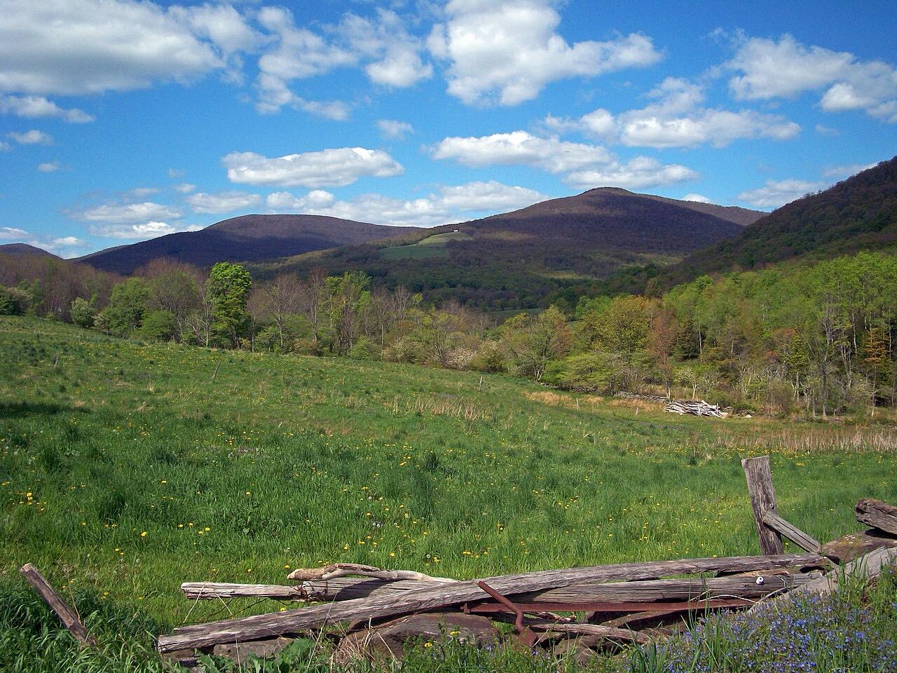
Highway 42 heads north from Shandaken through two-lane residential country, then climbs into Deep Notch, a narrow pass below Halcott Mountain. The road is hemmed in by woods and has a Fallen Rock Zone sign.
On the far side it drops down the West Kill valley, through the hamlet of West Kill, and follows Schoharie Creek into Lexington. The drive ends at Route 23A.
It takes about 15 minutes and sees little traffic.
Along the way
- Shandaken (Highway 28)
- West Kill
- Lexington (Highway 23A)
Good to know
- Rockfall is a known hazard in Deep Notch.
- Highway 214 is the nearby alternative route.
Open all year, weather permitting. Roads close for snow, fire, storms and repairs: before you set off, check 511NY traffic and travel information.
Questions about this drive
How long is Highway 42 through Deep Notch?
Highway 42 from Shandaken to Lexington is 10.5 miles and takes about 15 minutes.
Is Deep Notch on Highway 42 closed?
Usually not, but rockfall can close the notch. Check 511NY for current conditions.
Where does Highway 42 end?
This drive ends in Lexington at Route 23A.
What you get in the app
Free on iPhone and Android. CarPlay and Android Auto come with Apex.
More drives near here




Distance, time, elevation, curves and intensity are from Carve's route. Checked 2026-10-28.