
Drives Alberta Banff, Jasper and the Canadian Rockies
David Thompson Highway
Abraham Lake, Alberta · Nordegg → Saskatchewan Crossing

The drive
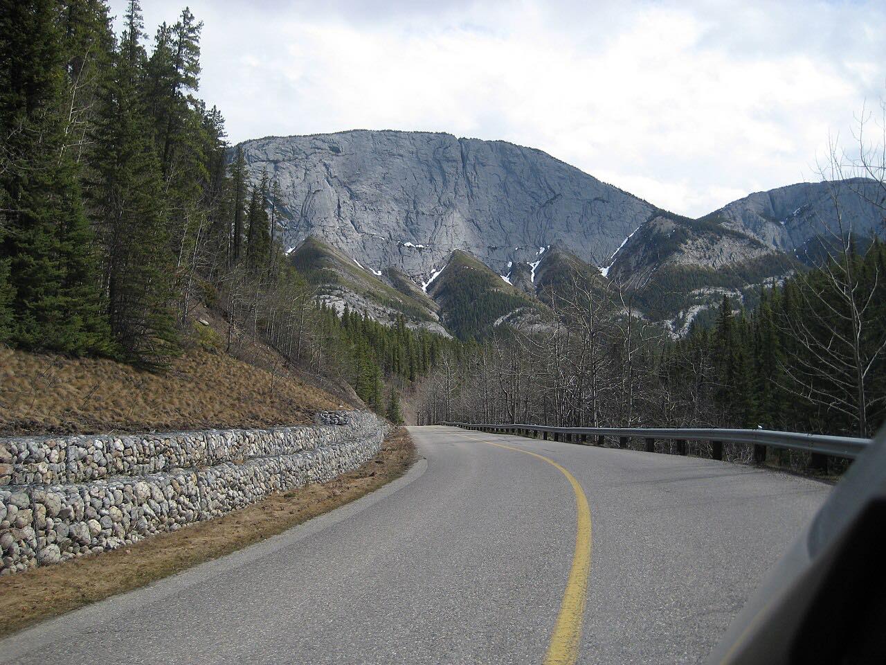
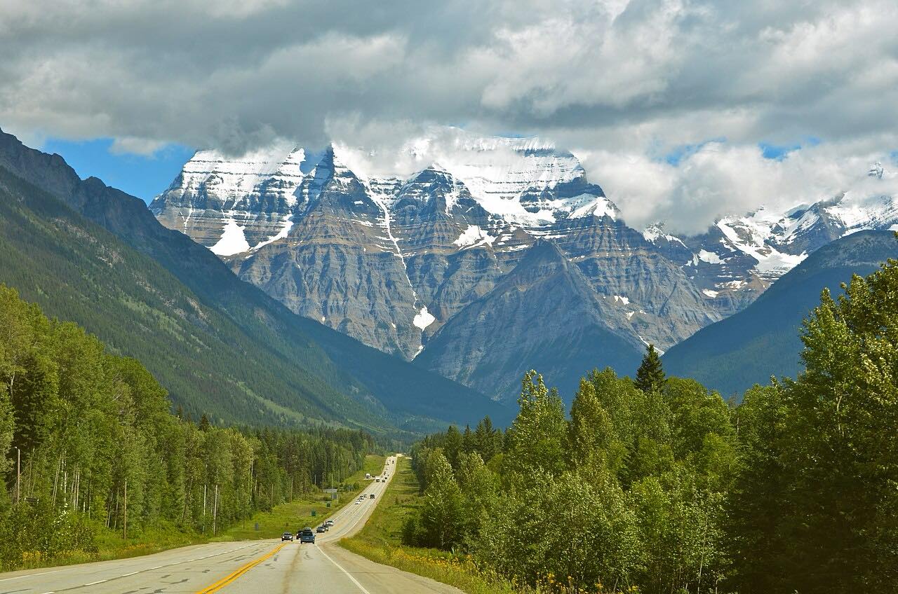
Highway 11, the David Thompson Highway, runs west from Nordegg, where the Brazeau Collieries mine began construction in 1911 and closed in January 1955. It then follows the west shore of Abraham Lake to Saskatchewan River Crossing, where it meets Highway 93, the Icefields Parkway. The drive is 54 miles in about an hour, leisurely with mostly gentle curves, and climbs about 3,300 feet.
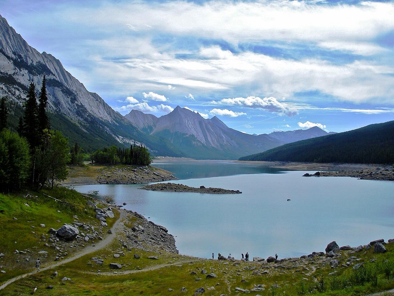
Abraham Lake is a reservoir on the North Saskatchewan River, 32 km long, created in 1972 when the Bighorn Dam was built. It is Alberta's largest reservoir. Methane bubbles trapped under the ice when the lake freezes draw visitors; the best viewing is mid-January to mid-February.
Along the way
- Nordegg (Highway 734)
- Abraham Lake
- Saskatchewan Crossing (Icefields Parkway)
Good to know
- Highway 11 runs about 6 km through Banff National Park near its west end, where a national parks pass is required.
- Check 511 Alberta before you set out.
- Abraham Lake is Alberta's largest reservoir, 32 km long, so the road runs beside it for a long stretch.
Open all year, weather permitting. Roads close for snow, fire, storms and repairs: before you set off, check 511 Alberta.
Questions about this drive
How long is the David Thompson Highway from Nordegg to Saskatchewan Crossing?
Nordegg to Saskatchewan River Crossing is 54 miles and takes about an hour.
Where does the David Thompson Highway meet the Icefields Parkway?
At Saskatchewan River Crossing, its western end.
When are the ice bubbles on Abraham Lake visible?
The lake usually freezes by late December, and the best viewing is mid-January to mid-February.
What you get in the app
Free on iPhone and Android. CarPlay and Android Auto come with Apex.
More drives near here


Distance, time, elevation, curves and intensity are from Carve's route. Checked 2026-10-28.