
Drives New Mexico Southern New Mexico
Highway 48: Ruidoso to Capitan
NM 48, Mechem Drive · Ruidoso → Capitan

The drive
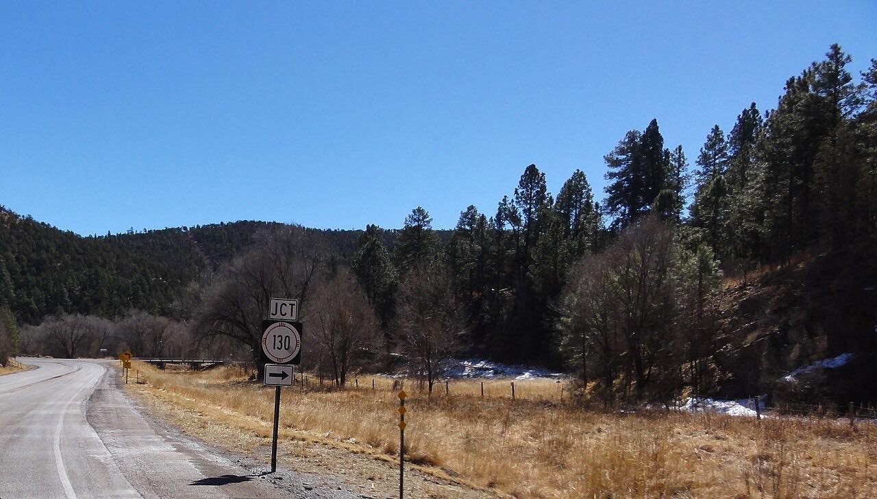
Highway 48 heads north out of Ruidoso, a resort town in the Sacramento Mountains, and climbs through Alto and the pine of Lincoln National Forest before settling toward the village of Capitan. It is a relaxed mountain road: short climbs, easy bends and Sierra Blanca behind you for the early miles.
Along the way it crosses NM 532 and NM 220 near Alto, and meets NM 37 at Angus. It ends at Capitan on US 380, the village best known for Smokey Bear Historical Park. The bear cub found after the 1950 Capitan Gap fire became the living Smokey, and the park, which also holds his grave, tells that story.
At Capitan you are on the Billy the Kid National Scenic Byway, so the drive links easily to the US 380 drive from Hondo through Lincoln.
Along the way
- Ruidoso (NM-48 north)
- Alto
- Capitan (NM-48)
Good to know
- Smokey Bear Historical Park in Capitan is a day-use state park with a small admission charge; hours vary by season, so check before you go.
- Burn-scar flooding has closed roads around Ruidoso after heavy rain, so check road status when storms are in the forecast.
- Capitan is on US 380, the Billy the Kid National Scenic Byway, so the drive links to the Hondo to Capitan drive.
Open all year, weather permitting. Roads close for snow, fire, storms and repairs: before you set off, check NMDOT NMRoads.
Questions about this drive
How long is Highway 48 from Ruidoso to Capitan?
Highway 48 from Ruidoso to Capitan is 16.6 miles and takes about 25 minutes.
What is in Capitan, New Mexico?
Capitan is the northern end of Highway 48 and is known for Smokey Bear Historical Park.
Is Highway 48 a good drive in the fall?
Highway 48 is a leisurely mountain road with pine forest and short climbs, and it is an easy drive in the cooler months, though upper stretches can see winter weather.
What you get in the app
Free on iPhone and Android. CarPlay and Android Auto come with Apex.
More drives near here



Distance, time, elevation, curves and intensity are from Carve's route. Checked 2026-10-28.