
Drives Ontario Toronto, Niagara and Southern Ontario
Highway 121: Fenelon Falls to Haliburton
Highway 121, Gelert Road · Fenelon Falls → Haliburton

The drive
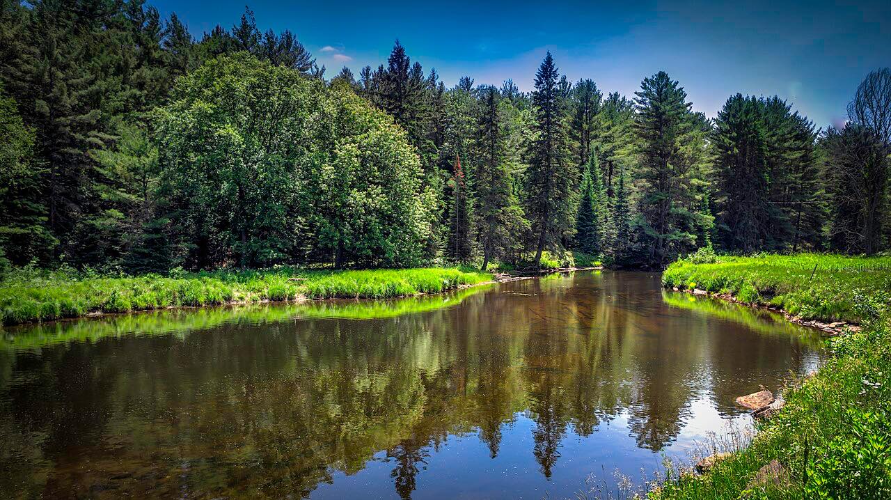
This drive runs north from Fenelon Falls through Kinmount toward Haliburton, across the Kawartha Lakes and onto the Canadian Shield. Rolling hills, rock cuts and small lakes lead into the Haliburton Highlands.
Highway 121 existed as a provincial highway from 1955 until 2003, when it was handed to local governments. South of Highway 118 it became Kawartha Lakes Road 121 and Haliburton Road 121, and signs near Kinmount say County Road 121. Its south end was at Highway 35 at Powles Corners, with a junction at Highway 503 in Kinmount. The route here ends on Gelert Road, in Haliburton.
The curves are modest. The pleasure is the lakes and cottage country.
Along the way
- Fenelon Falls
- Haliburton
Good to know
- Summer weekends bring cottage traffic.
- It is no longer a provincial highway, so look for county road signs rather than Highway 121 shields.
- Road status comes from the counties, not the provincial 511.
Open all year, weather permitting. Roads close for snow, fire, storms and repairs: before you set off, check Haliburton County.
Questions about this drive
How long is Highway 121 from Fenelon Falls to Haliburton?
The Highway 121 drive from Fenelon Falls to Haliburton is 46.5 miles and takes about 1 hr 3 min.
Is Highway 121 in Ontario still a provincial highway?
No. Highway 121 was a provincial highway from 1955 to 2003, and its southern part became Kawartha Lakes Road 121 and Haliburton Road 121.
Where does Highway 121 meet Highway 503?
Highway 503 meets the road at Kinmount, between Fenelon Falls and Haliburton.
What you get in the app
Free on iPhone and Android. CarPlay and Android Auto come with Apex.
More drives near here


Distance, time, elevation, curves and intensity are from Carve's route. Checked 2026-10-28.