Drives Arizona Western Arizona and the Colorado River
Highway 95: Lake Havasu City to Parker
AZ 95, Riverside Drive, Airport Road · Lake Havasu City → Parker

The drive
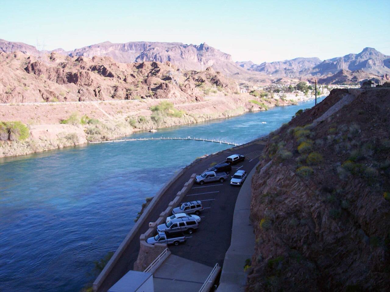
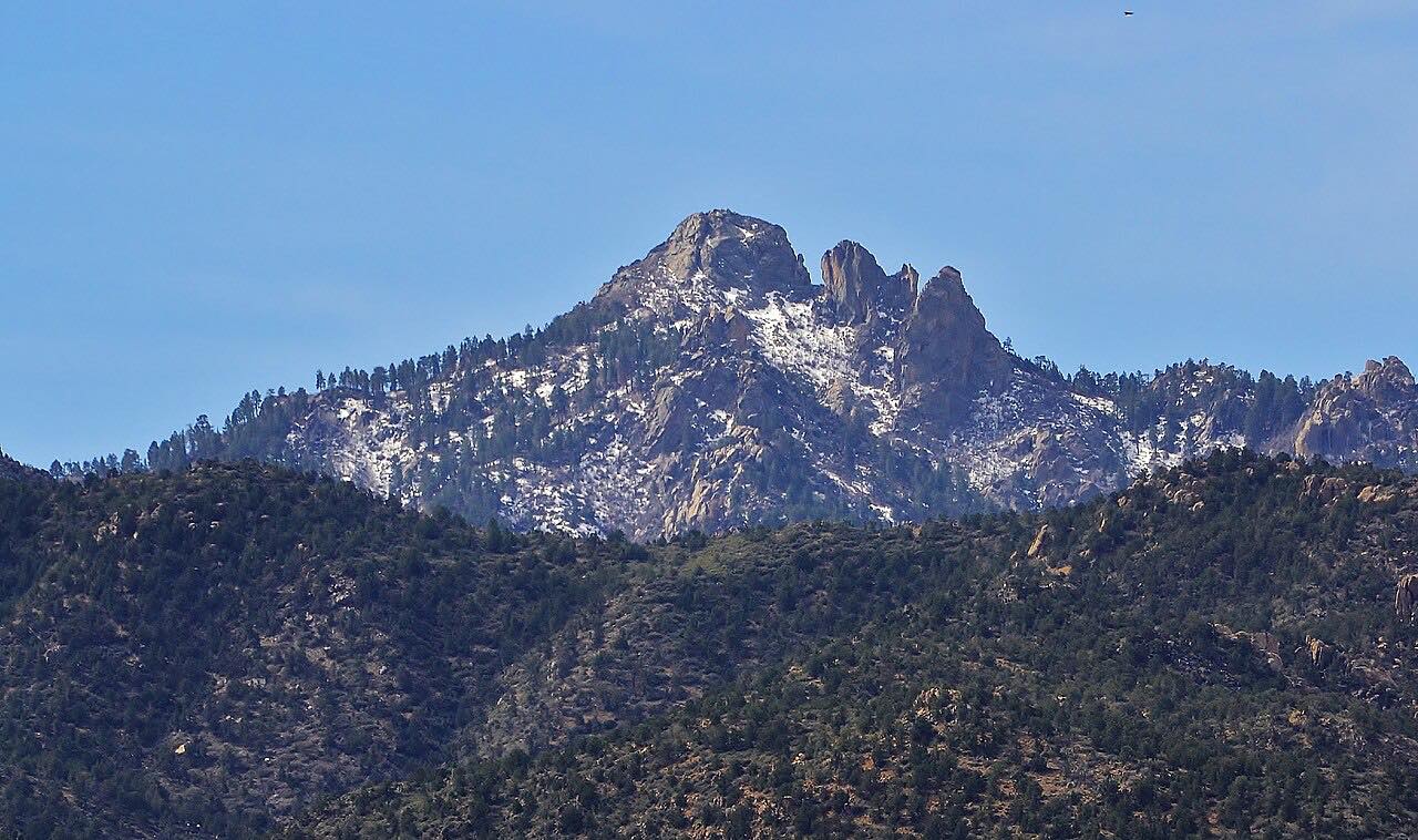
Highway 95 is the main north-south road along the Arizona side of the Colorado River. This stretch runs south from Lake Havasu City to Parker, about 32 miles. The Mohave Mountains, with 4,882-foot Crossman Peak, stand to the northeast and the Whipple Mountains rise across the river in California. Moon-like buttes line the road and the Colorado River shows up in glimpses.
Along the way are Lake Havasu State Park and Cattail Cove State Park, a pullout overlooking the Bill Williams River National Wildlife Refuge marsh, and Gibraltar Mountain Wilderness on the left. The turnoff for Parker Dam, built in the 1930s, comes about 24 miles from London Bridge. Past it the road follows the river to River Island and Buckskin Mountain State Parks, then enters Colorado River Indian Tribes land before Parker.
The curves are gentle, so this is a relaxed drive. The reason to take it is the river corridor, not the bends.
Along the way
- Lake Havasu City (Highway 95)
- Parker Strip
- Parker (Highway 95)
Good to know
- The Parker Dam spur and Parker Dam Road are not part of this drive.
- The road enters Colorado River Indian Tribes land near Parker.
Open all year, weather permitting. Roads close for snow, fire, storms and repairs: before you set off, check Arizona 511 (ADOT).
Questions about this drive
How long does Highway 95 from Lake Havasu City to Parker take?
Highway 95 from Lake Havasu City to Parker is 32.5 miles and takes about 35 minutes.
Is Highway 95 between Lake Havasu City and Parker scenic?
Yes. The Mohave Mountains and Crossman Peak, the Colorado River, two state parks on the lake and Parker Dam's turnoff all line the route; the road itself is a relaxed drive.
Where is Parker Dam on this drive?
The Parker Dam spur leaves Highway 95 about 24 miles south of London Bridge in Lake Havasu City. It is a short road to the dam and not part of this drive.
What you get in the app
Free on iPhone and Android. CarPlay and Android Auto come with Apex.
More drives near here



Distance, time, elevation, curves and intensity are from Carve's route. Checked 2026-10-28.