

The drive
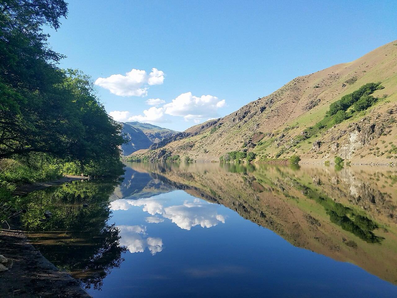
OR 86 runs east from Baker City, near I-84, toward Hells Canyon. It leaves the Oregon Trail center on Flagstaff Hill and drops into the Powder River canyon to Richland, on the Powder River arm of Brownlee Reservoir. It then crosses to Halfway in Pine Valley and follows Pine Creek down to the Snake River at Oxbow.
The drive is 67.3 miles and takes about 1 hr 30 min. It's rated Leisurely, with few bends; the interest is in the canyons and the dry, open country. It's part of the Hells Canyon Scenic Byway.
Services are few, so fill up in Baker City.
Along the way
- Baker City
- Richland
- Halfway
- Oxbow
Good to know
- Services are few between Baker City and Oxbow; fill the tank and bring water.
- Few services along the route: fuel up in Baker City.
Open all year, weather permitting. Roads close for snow, fire, storms and repairs: before you set off, check ODOT TripCheck: road conditions.
Questions about this drive
How long is OR 86 from Baker City to Oxbow?
Highway 86 from Baker City to Oxbow is 67.3 miles and takes about 1 hr 30 min.
Is OR 86 twisty?
No. The drive is rated Leisurely, with few bends.
Is there gas on OR 86?
Services are few, so fill up in Baker City before the drive.
What you get in the app
Free on iPhone and Android. CarPlay and Android Auto come with Apex.
More drives near here




Distance, time, elevation, curves and intensity are from Carve's route. Checked 2026-10-28.