Drives Montana Glacier, the Flathead and Northwest Montana
Marias Pass: US-2
US 2, Theodore Roosevelt Highway · West Glacier → East Glacier Park

The drive
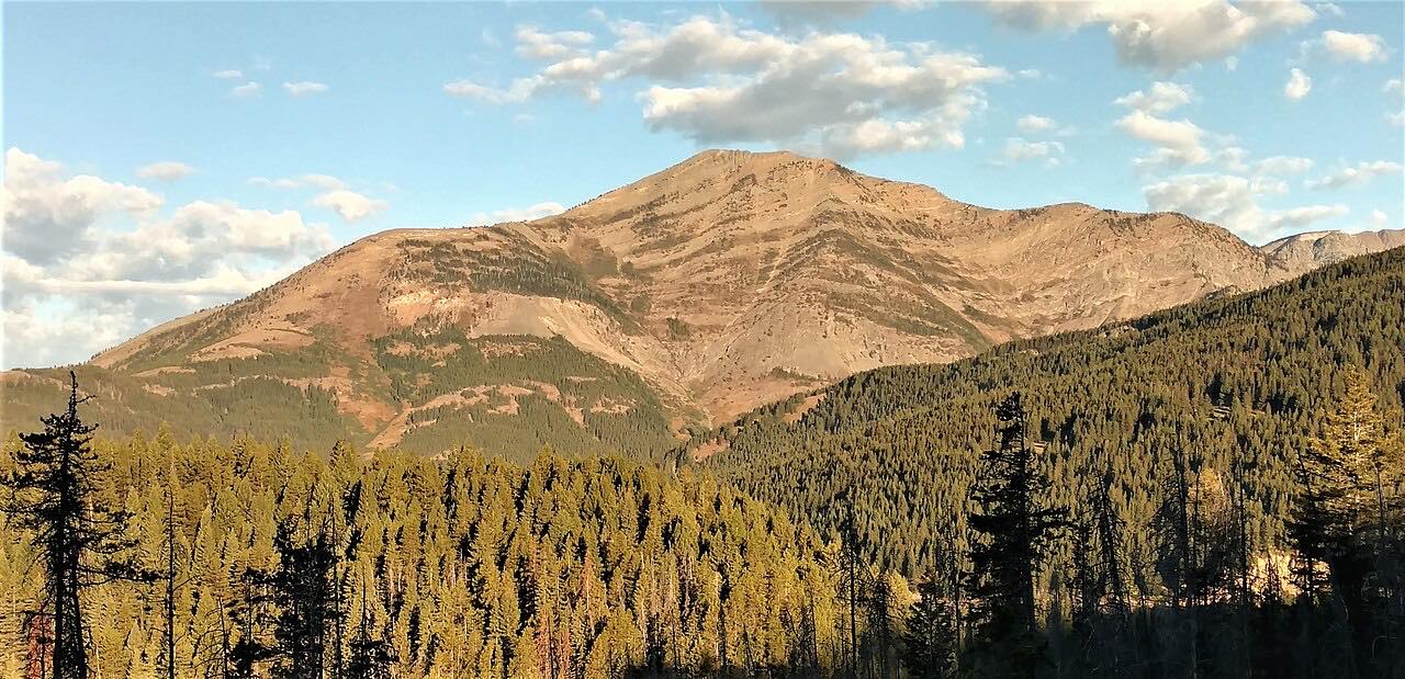
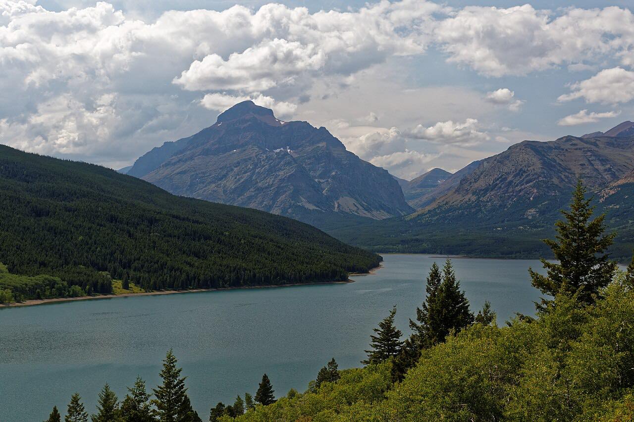
US 2 crosses the Continental Divide at Marias Pass, 5,213 feet, on the southern edge of Glacier National Park. It's the lowest Continental Divide crossing between Canada and central New Mexico, and the northernmost pass in the US open to automobile traffic year-round. The drive runs east from West Glacier, so the river road comes first and the pass second, ending at East Glacier Park.
The drive passes Goat Lick Overlook and runs along Glacier's south edge, 54.6 miles in about 1 hr 5 min. Great Northern Railway engineer John Frank Stevens charted the pass in December 1889, and a statue of him stands at the summit. A Roosevelt Memorial Obelisk was built along the Divide in 1930-31. With Going-to-the-Sun Road it makes a loop round the park's south half.
Along the way
- West Glacier
- Goat Lick Overlook
- Marias Pass
- East Glacier Park
Good to know
- Winter storms can close US 2 on the east side of the pass; check 511 in cold months.
- There's no park entrance fee on US 2 itself.
Open all year, weather permitting. Roads close for snow, fire, storms and repairs: before you set off, check Montana 511 Travel Information.
Questions about this drive
How long does the drive over Marias Pass take?
West Glacier to East Glacier Park on US 2 is 54.6 miles and takes about 1 hr 5 min.
Is Marias Pass open in winter?
Yes. It's described as open to automobile traffic year-round, though the east side has been closed in winter storms.
What is special about Marias Pass?
At 5,213 feet it's the lowest Continental Divide crossing between Canada and central New Mexico.
What you get in the app
Free on iPhone and Android. CarPlay and Android Auto come with Apex.
More drives near here




Distance, time, elevation, curves and intensity are from Carve's route. Checked 2026-10-28.