

The drive
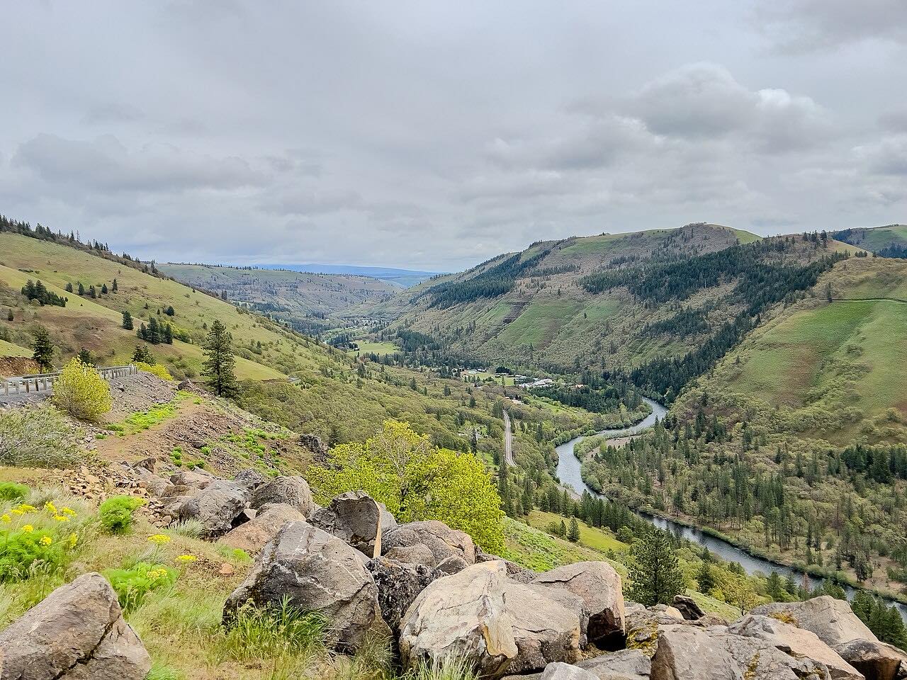
Oregon 19 runs from Condon through wide wheat country to the John Day River canyon. This drive heads south past Fossil and the Service Creek area, follows the John Day River, and ends at the US 26 junction near Picture Gorge. It is 81.6 miles and takes about 1 hr 53 min.
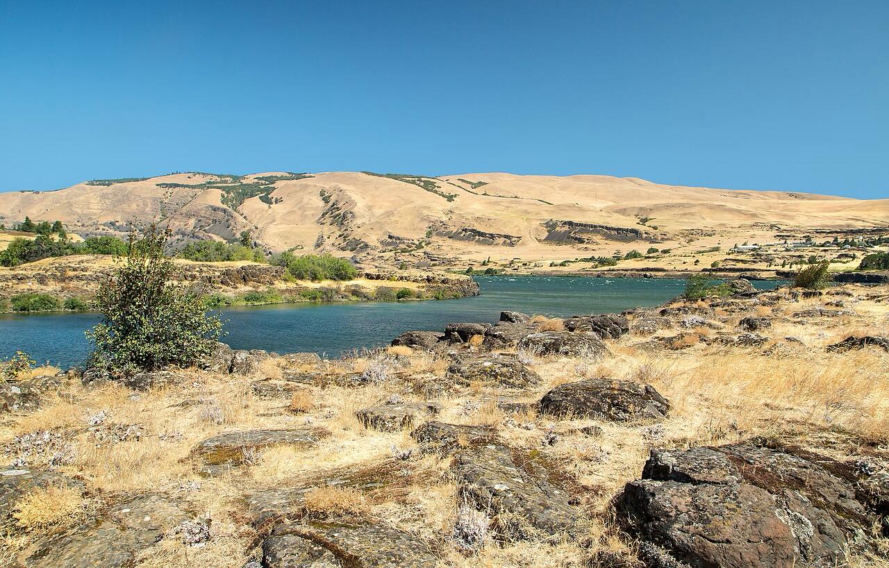
The country goes from open wheat fields to canyon walls with exposed basalt layers. At the end, the Sheep Rock Unit of John Day Fossil Beds National Monument sits where Highway 19 and US 26 meet. The monument's headquarters is on Highway 19 in Kimberly. The Thomas Condon Paleontology Center is in the Sheep Rock Unit.
It is a long, lightly traveled run with few services.
Along the way
- Condon
- Fossil
- US-26 junction
Good to know
- The road is long and remote, with few services between towns.
- Traffic is light, so you may go long stretches alone.
- The Sheep Rock Unit has a trail system including an easy 1.3-mile walk at Blue Basin.
- Check TripCheck for conditions, especially in winter.
Open all year, weather permitting. Roads close for snow, fire, storms and repairs: before you set off, check TripCheck: Oregon road and weather conditions.
Questions about this drive
How long does Highway 19 from Condon to Picture Gorge take?
Oregon 19 from Condon to the US 26 junction is 81.6 miles and takes about 1 hr 53 min.
What is at the end of Highway 19?
The drive ends at the US 26 junction near Picture Gorge, next to the Sheep Rock Unit of John Day Fossil Beds National Monument.
Are there services on Highway 19?
Few. It is a remote road, so plan ahead for fuel and food.
Is Highway 19 busy?
No. It is lightly traveled.
What you get in the app
Free on iPhone and Android. CarPlay and Android Auto come with Apex.
More drives near here


Distance, time, elevation, curves and intensity are from Carve's route. Checked 2026-10-28.