
Drives New York The Adirondacks and the North Country
Whiteface Memorial Highway
NY 431 · Wilmington → Whiteface summit

The drive
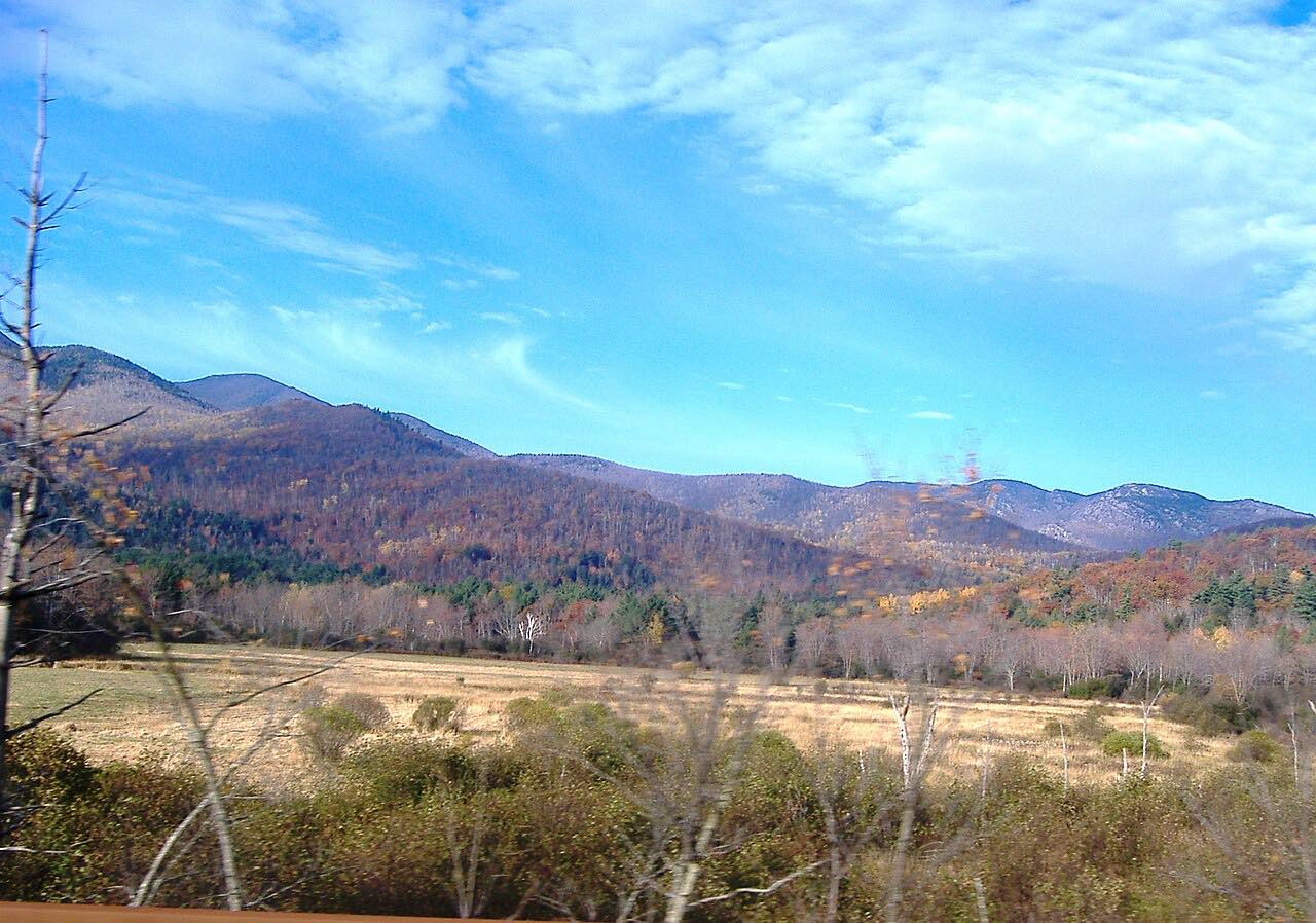
The Whiteface Veterans Memorial Highway is the road up Whiteface Mountain, one of the Adirondack High Peaks. Officially Highway 431, it leaves Highway 86 in Wilmington and climbs about 8 miles, gaining roughly 450 feet a mile, past a tollhouse and up a long series of switchbacks to a parking lot about 300 feet below the summit. The view opens up as you climb, across the High Peaks and the Lake Placid area.
At the top is the Castle, a building of local stone with a grill and a gift shop. From the lot you reach the summit either up a stone staircase or by an elevator set deep inside the mountain, an idea of Franklin D. Roosevelt's, who dedicated the road in 1935. It was named for the veterans of World War I and rededicated to veterans of all wars in 1985.
It's a dead end, so the drive down is the same road, with the same views in front of you.
Along the way
- Wilmington (Highway 86)
- Whiteface summit (the Castle)
Good to know
- It's a seasonal toll road, open daily from about mid-May to mid-October, and closed the rest of the year.
- Tickets are sold at the tollhouse partway up, and entry closes at 5:30 p.m. Expect waits for entry and summit parking on foliage weekends.
- The posted speed is 25 mph and the grade is steady the whole way; use a low gear on the way down to spare your brakes.
- Dogs aren't allowed on the summit elevator, so a dog means the stairs.
Open from about mid-May to mid-October; the 2026 season ended October 12. Roads close for snow, fire, storms and repairs: before you set off, check Whiteface Mountain: Veterans Memorial Highway.
Questions about this drive
How long does it take to drive the Whiteface Memorial Highway?
The Whiteface Memorial Highway from Wilmington to the summit parking lot is 7.8 miles and takes about 20 minutes up, climbing about 3,500 feet. The way down is the same road.
Is the Whiteface Memorial Highway open now?
Not in winter. The Whiteface Memorial Highway is open daily from about mid-May to mid-October and reopens each spring.
Is there a toll on the Whiteface Memorial Highway?
Yes. The Whiteface Memorial Highway is a toll road; tickets are bought at the tollhouse partway up, and some days can be bought online in advance.
Do you have to hike to the top of Whiteface from the highway?
Only a little. The Whiteface Memorial Highway ends about 300 feet below the summit, which you reach by a short stone staircase or by an accessible elevator inside the mountain.
How steep is the Whiteface Memorial Highway?
The Whiteface Memorial Highway climbs steadily, about 450 feet per mile, with switchbacks near the top and a 25 mph speed limit.
What you get in the app
Free on iPhone and Android. CarPlay and Android Auto come with Apex.
More drives near here




Distance, time, elevation, curves and intensity are from Carve's route. Checked 2026-10-28.