
Drives New York The Adirondacks and the North Country
Highway 9N: Keene and Jay
NY 9N · Elizabethtown → Au Sable Forks

The drive
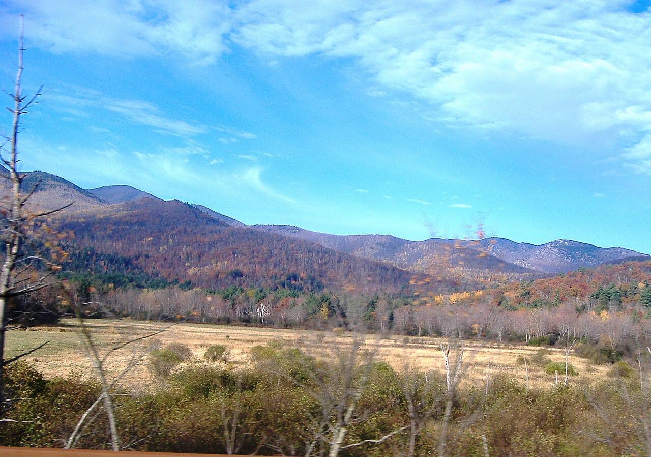
Highway 9N leaves Elizabethtown, the Essex County seat near Exit 31 of the Northway, and heads west for about 12 miles through deep, narrow valleys toward the High Peaks. North of Keene Valley it meets Highway 73 and runs with it for about 2 miles into the hamlet of Keene, on the East Branch of the Ausable River.
There 73 turns off toward Lake Placid, and 9N turns north to follow the river downstream through Upper Jay and Jay, where Highway 86 comes in from Wilmington. Just off the road in Jay is the Jay Covered Bridge, built in 1857 and now a footbridge beside Jay Falls, where the river is a popular swimming spot.
From Jay the road stays on the river's west bank to Au Sable Forks, where the East and West branches of the Ausable meet and the drive ends. It's an easy, low-key road, more about river and valley than corners.
Along the way
- Elizabethtown
- Keene
- Jay
- Au Sable Forks
Good to know
- In Keene, Highway 9N shares about 2 miles with Highway 73, the busy High Peaks road, so expect more traffic and hikers there.
- The Jay Covered Bridge is for people on foot only; there's no lifeguard at the swimming hole below it.
- Deer and moose are most active from October through December and at dawn and dusk, New York's DMV and DEC warn.
Open all year, weather permitting. Roads close for snow, fire, storms and repairs: before you set off, check 511NY.
Questions about this drive
How long is the drive on Highway 9N from Elizabethtown to Au Sable Forks?
Highway 9N from Elizabethtown through Keene and Jay to Au Sable Forks is 27.2 miles and takes about 35 minutes.
Where is the Jay Covered Bridge?
The Jay Covered Bridge crosses the East Branch of the Ausable River in Jay, just off Highway 9N. Built in 1857, it closed to cars in 1997 and reopened as a footbridge in 2007.
Is Highway 9N between Elizabethtown and Keene a twisty road?
Highway 9N from Elizabethtown to Au Sable Forks runs through deep, narrow valleys but has mostly gentle curves, with about 1,800 feet of climbing.
Does Highway 9N connect with the Highway 73 drive?
Yes. Highway 9N runs with Highway 73 for about 2 miles into Keene, so it links with the Highway 73 drive through the High Peaks.
What you get in the app
Free on iPhone and Android. CarPlay and Android Auto come with Apex.
More drives near here


Distance, time, elevation, curves and intensity are from Carve's route. Checked 2026-10-28.