
Drives Alaska Juneau, Skagway and Southeast Alaska
North Tongass Highway: Ketchikan to Settlers Cove
Tongass Highway, North Tongass Highway, AK 7 · Ketchikan → Settlers Cove


The drive
North Tongass Highway, Alaska Route 7, runs 17 miles north from downtown Ketchikan to Settlers Cove State Recreation Site. The drive takes about 36 minutes and climbs 1,371 feet to a high point of 394 feet. It follows Tongass Narrows through forest, passes Ward Cove and ends at the road end.
Settlers Cove State Recreation Site sits at about mile 18 on Clover Passage. It has wooded campsites, picnic tables, a beach access trail and a public-use cabin, and winter road maintenance is not provided on the Settlers Cove Road.
Ketchikan gets heavy rain.
Along the way
- Ketchikan (Tongass Avenue)
- Settlers Cove
Good to know
- Bends are frequent.
- Ketchikan gets heavy rain, so wet pavement is common.
- Settlers Cove has an RV size limit of 35 feet.
Open all year, weather permitting. Roads close for snow, fire, storms and repairs: before you set off, check Alaska 511.
Questions about this drive
How long does North Tongass Highway take?
From downtown Ketchikan to Settlers Cove is 17 miles and takes about 36 minutes.
What is at the end of North Tongass Highway?
Settlers Cove State Recreation Site, with campsites, a beach trail and a public-use cabin.
Are RVs allowed at Settlers Cove?
The state parks page lists a 35-foot RV size limit.
What you get in the app
Free on iPhone and Android. CarPlay and Android Auto come with Apex.
More drives near here
Highway 37A: Meziadin to StewartLeisurely · BC 37A, Stewart-Cassiar Highway · 38 mi
 Highway 16: Terrace to Prince RupertLeisurely · Yellowhead Highway, YH 16 · 87 mi
 Sitka: Halibut Point to Blue LakeTwisty · Halibut Point Road, Sawmill Creek Road · 9.7 mi
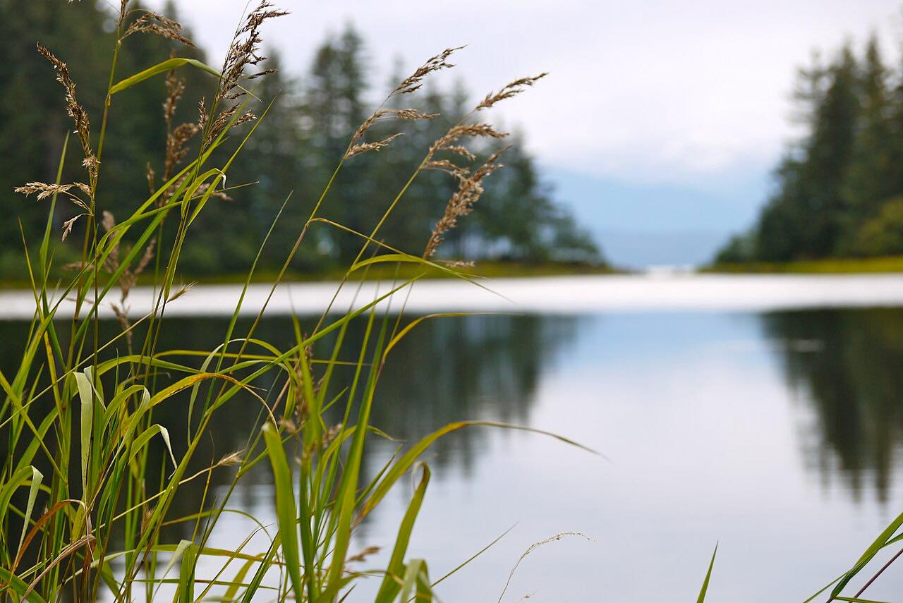 Glacier Highway: Auke Bay to Echo CoveLeisurely · Glacier Highway, AK 7 · 27 mi
Distance, time, elevation, curves and intensity are from Carve's route. Checked 2026-10-28.