
Drives Quebec Quebec City, Charlevoix, the Saguenay and the Gaspé
Route 362: Charlevoix
Route du Fleuve · Baie-Saint-Paul → La Malbaie

The drive
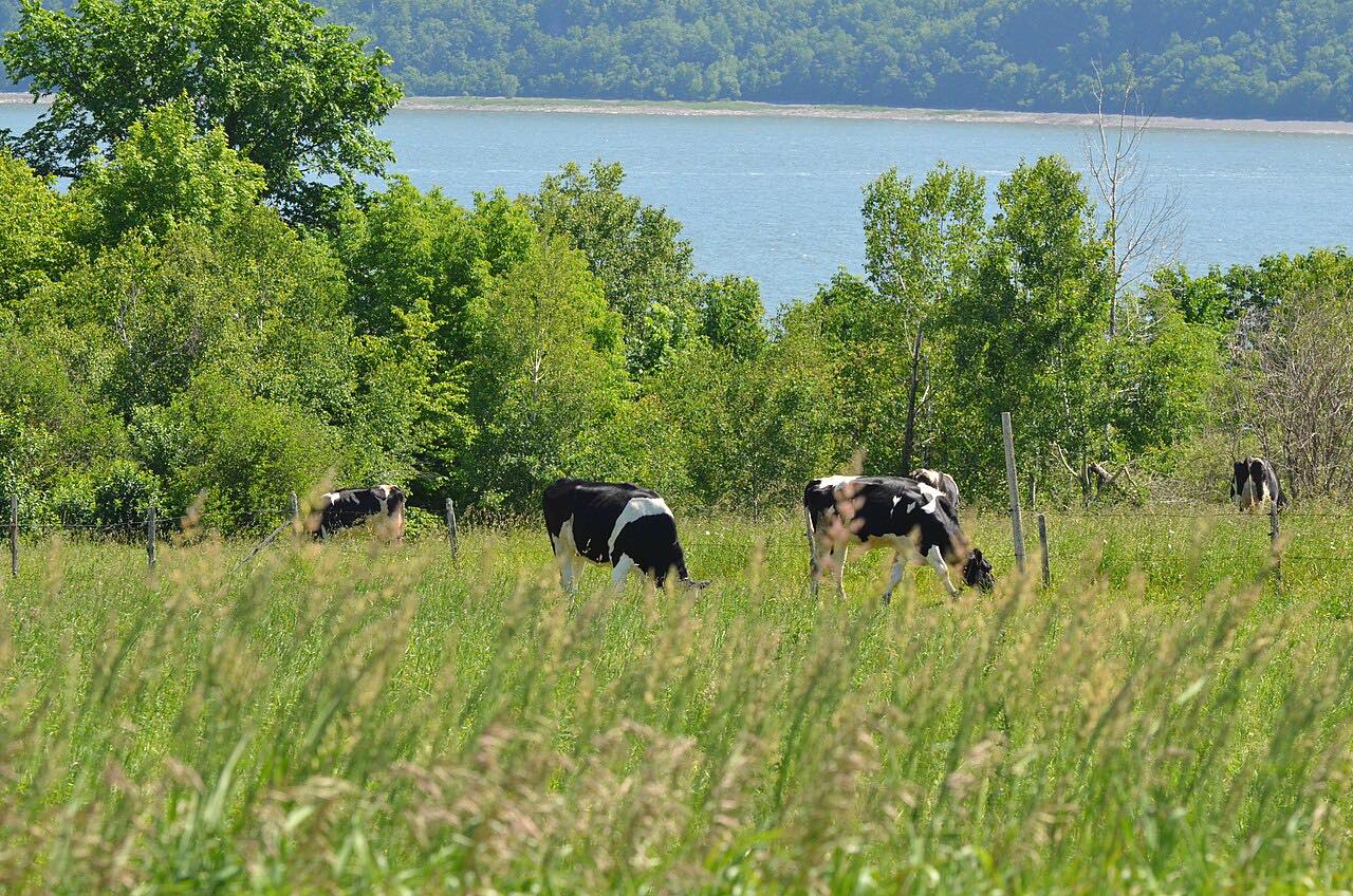
Route 362 is a two-lane scenic highway in Charlevoix that follows the St. Lawrence River, with vistas of the river and steep hills. This drive runs east from Baie-Saint-Paul through Les Éboulements and Saint-Irénée to La Malbaie (Pointe-au-Pic), 25.3 miles.
It takes about 40 minutes and climbs about 3,500 feet to a high point of 1,300 feet. The route is Leisurely with mostly gentle curves. Wikipedia notes that Route 138 is the more direct link between Baie-Saint-Paul and La Malbaie, so this road is the scenic one.
Along the way
- Baie-Saint-Paul
- Les Éboulements
- Saint-Irénée
- La Malbaie (Pointe-au-Pic)
Good to know
- Check Québec 511 for current roadwork.
- Wikipedia notes steep hills along the river.
Open all year, weather permitting. Roads close for snow, fire, storms and repairs: before you set off, check Québec 511.
Questions about this drive
How long does Route 362 in Charlevoix take?
Route 362 from Baie-Saint-Paul to La Malbaie (Pointe-au-Pic) is 25.3 miles and takes about 40 minutes.
Which towns are on Route 362?
Wikipedia lists Baie-Saint-Paul, Saint-Joseph-de-la-Rive, Les Éboulements, Saint-Irénée and La Malbaie.
What you get in the app
Free on iPhone and Android. CarPlay and Android Auto come with Apex.
More drives near here



Distance, time, elevation, curves and intensity are from Carve's route. Checked 2026-10-28.