
Drives Florida Orlando, Tampa Bay and Central Florida
Playalinda Beach Road
Beach Road · Titusville → Playalinda Beach

The drive
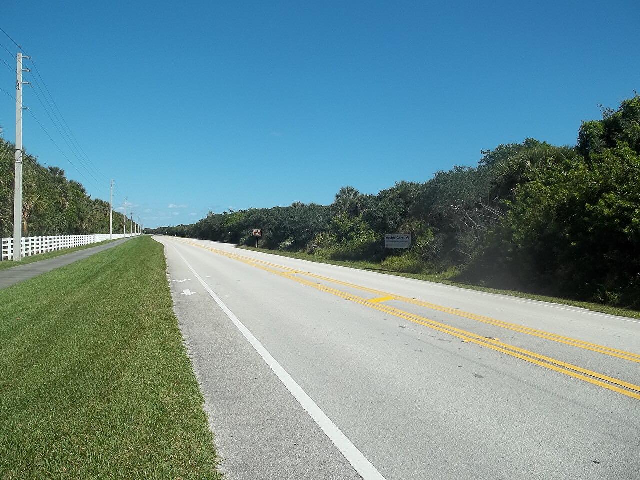
This drive heads east from Titusville across the Max Brewer Causeway and along SR 402 through Merritt Island National Wildlife Refuge to Playalinda Beach in Canaveral National Seashore. The road is flat, and the Kennedy Space Center launch pads are visible from the beach.
It ends partway up the beach road, by the southern parking areas. Storm damage has closed parking areas and road north of Eddy Creek before, so check the park's page.
The seashore also closes or shortens its hours around launches from the nearby pads.
Along the way
- Titusville
- Playalinda Beach
Good to know
- There is an entrance fee, paid at the station on the road: $25 a car for seven days at last check.
- Playalinda closes or cuts hours around rocket launches.
- Parts of the beach road and parking areas north of Eddy Creek have been closed since storm damage.
Open all year, weather permitting. Roads close for snow, fire, storms and repairs: before you set off, check Canaveral National Seashore: Conditions.
Questions about this drive
How long is the drive to Playalinda Beach?
From Titusville to Playalinda Beach is 12.7 miles and takes about 25 minutes.
Is there a fee for Playalinda Beach?
Yes. Canaveral National Seashore charges $25 a vehicle, good for seven days.
Does Playalinda close for launches?
Yes. The seashore has closed areas or changed hours around launches from the Kennedy Space Center pads.
What you get in the app
Free on iPhone and Android. CarPlay and Android Auto come with Apex.
More drives near here



Distance, time, elevation, curves and intensity are from Carve's route. Checked 2026-10-28.