
Drives Pennsylvania The Pennsylvania Wilds and Northern Tier
Pine Creek Gorge: Highway 414
PA 414, PA 44 · Morris → Waterville

The drive
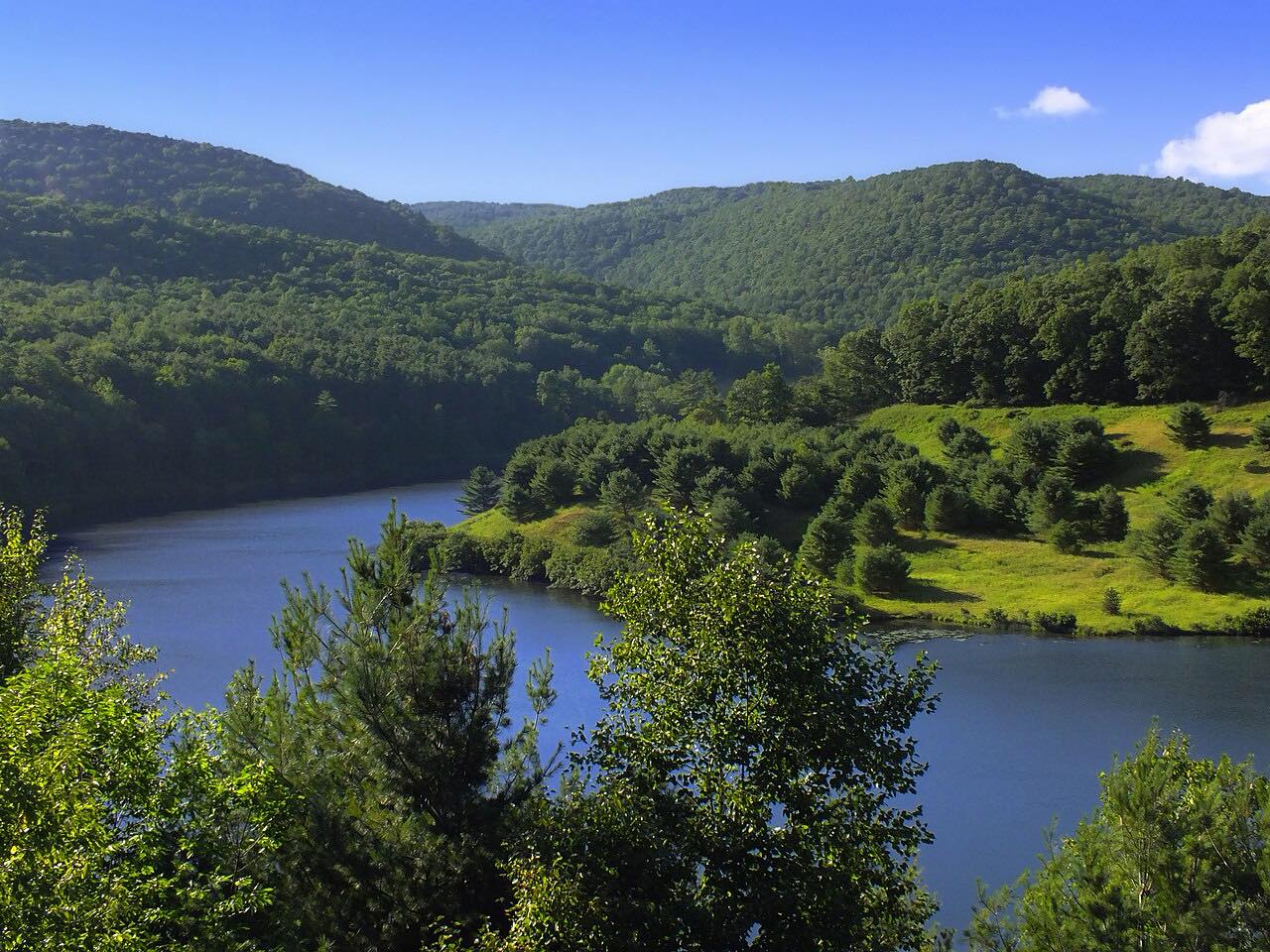
PA 414 follows Pine Creek through Pine Creek Gorge and Tiadaghton State Forest. This drive runs 30.9 miles south from Morris, through Blackwell, Cedar Run and Slate Run, to Waterville, where PA 414 meets PA 44. It is a sweeping road of about an hour, with mostly gentle curves.
The highway crosses Pine Creek and the Pine Creek Rail Trail several times. The rail trail is a 62-mile biking route through what Tioga County calls the Grand Canyon of Pennsylvania, which is surrounded by about 165,000 acres of Tioga State Forest. Wikipedia describes the first leg of PA 414 out of PA 44 as very narrow and rugged.
The Highway 44 drive begins where this one ends.
Along the way
- Morris
- Blackwell
- Cedar Run
- Slate Run
- Waterville
Good to know
- The road near the Waterville end is very narrow and rugged, so take it slowly.
- Expect bikers and walkers where the road meets the Pine Creek Rail Trail.
Open all year, weather permitting. Roads close for snow, fire, storms and repairs: before you set off, check 511PA.
Questions about this drive
How long does the Pine Creek Gorge drive on PA 414 take?
Morris to Waterville is 30.9 miles and takes about 1 hour.
What towns does PA 414 pass through in the Pine Creek Gorge?
This drive passes Blackwell, Cedar Run and Slate Run on its way to Waterville.
Is PA 414 twisty?
It is a sweeping road with mostly gentle curves that follows the creek.
What you get in the app
Free on iPhone and Android. CarPlay and Android Auto come with Apex.
More drives near here



Distance, time, elevation, curves and intensity are from Carve's route. Checked 2026-10-28.